
21.02.2021
Scientists have made a new and improved map of possible water-ice reservoirs on Mars.
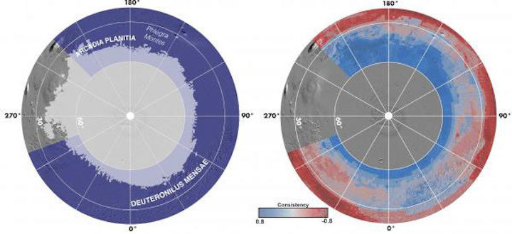
These two views both show the northern hemisphere of Mars using an orthographic projection centered on the north pole. At left, light-gray shading shows the northern ice stability zone, which overlaps with the purple shading of the SWIM study region. At right, blue-grey-red shading shows where the SWIM study found evidence for the presence (blue) or absence (red) of buried ice on Mars. The intensity of the colors reflects the degree of consistency between the data sets.
Morgan et al. / Nature Astronomy 2021
In the past month, three different spacecraft have arrived successfully on Mars, including NASA’s Perseverance rover. But probes and robots are just the beginning. The ultimate goal of all these remote missions is to build up a sufficient knowledge base so that we can someday send humans to Mars. Before this dream can become a reality, though, there's a lot of prep work to be done.
Most crewed mission proposals rely on Martian ice for generating return fuel, so knowing exactly where to find large, accessible reservoirs is vital before choosing a landing site. And the poles, where most of the known water is, are too inhospitable. So NASA funded the Subsurface Water Ice Mapping (SWIM) project to search for buried ice resources across the mid-latitudes of the Red Planet.
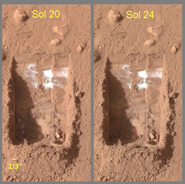
NASA / JPL / Univ. of Arizona / Texas A&M Univ.
NASA tasked Gareth Morgan and Nathaniel Putzig (both at Planetary Science Institute), who lead the SWIM team, with creating open-access mapping products that the community could use when recommending landing sites. They have just published a study in Nature Astronomy which shows to a higher likelihood, and with better resolution than before, where usable ice might be found. Their maps show that Arcadia Planitia and the glaciers across Deuteronilus Mensae are promising ice-bearing locations for future missions.
“In the past, mappers would look at a single data set or focus on very interesting but geographically limited areas,” Morgan says. “We took every global large-scale data set and synthesized them to produce this map. It's basically providing a tool for future mission planners, as well as being a novel technique in its own right.”
Over the past 20 years, numerous probes have been sent into orbit around Mars, most of which are still operational. They all have brought unique suites of detectors, cameras, spectrometers, and other instruments that have been providing us with information on the presence and characteristics of ice beneath the surface.
The SWIM team combined seven data sets from six instruments: two thermal spectrometers (TES& THEMIS), a neutron spectrometer (MONS), two types of radar returns (surface/subsurface) from SHARAD, and two visible imagery sets from the CTX and HiRISE cameras. Thermal spectrometers see visible and infrared reflections off the surface of the planet, and the differences reveal different mineral concentrations, including those that form in water. The neutron detector measures the release of neutrons from the soil, which indicates liquid or frozen water underground.
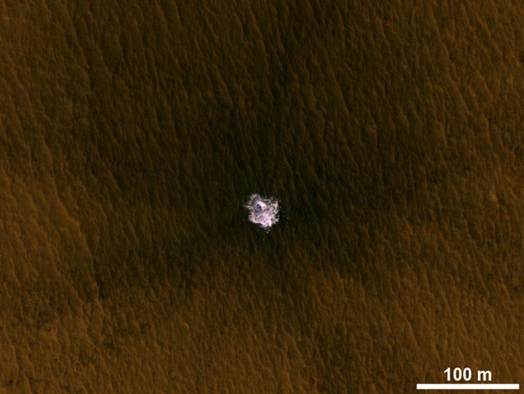
NASA / JPL / Univ. of Arizona
Both types of scans give a picture of the top meter of the ground whereas the radar probes deeper than about 20 meters (65 feet). At the in-between depths, the team has to infer what’s happening.
“This is where the imagery comes in,” explains SWIM team member Hanna Sizemore (also at Planetary Science Institute). “We looked at pictures of the surface to see which features are associated with ice, the depth of that ice, and to infer how shallow ice might connect to the deeper ice. Our understanding of terrestrial geology helps us to bridge that gap between the ice on top, where you can literally brush the dust off, and the really deep material that we can only see with radar.”
AN IMPORTANT FIRST STEP
Frances Butcher (University of Sheffield), who was not involved with this project, thinks this is an important first step towards mapping the Martian surface in a way that is not just interesting or informative to scientists on Earth but practically useful for crewed missions on the Red Planet.
“This is a fantastic resource, and the product of a lot of hard work and a great team effort,” she says. “But this is not going to be the final map before we go to Mars. There will be future missions that give new data, and they, or someone else will update these maps over time.”
At the moment, the resolution of the SWIM map is only three kilometers — higher-resolution than previous maps, but still not good enough to build a mission upon. If astronauts land more than a kilometer away from a water source, that distance could be the difference between life and death.
Future instruments should give us the needed resolution of the warmer regions. NASA is developing the International Mars Ice Mapper (I-MIM) mission in collaboration with the Canadian, Japanese, and Italian space agencies with the goal of figuring out the extent and characteristics of water ice in non-polar regions of Mars. This information will be used to update the SWIM template, and eventually a refined ice map will help pinpoint a landing site for the first crewed mission.