
-
The NASA Mars rover Curiosity this week is driving within a shallow depression called "Yellowknife Bay," providing information to help researchers choose a rock to drill.
Using Curiosity's percussive drill to collect a sample from the interior of a rock, a feat never before attempted on Mars, is the mission's priority for early 2013. After the powdered-rock sample is sieved and portioned by a sample-processing mechanism on the rover's arm, it will be analyzed by instruments inside Curiosity.
Yellowknife Bay is within a different type of terrain from what the rover has traversed since landing inside Mars' Gale Crater on Aug. 5, PDT (Aug. 6, UTC). The terrain Curiosity has entered is one of three types that intersect at a location dubbed "Glenelg," chosen as an interim destination about two weeks after the landing.
Curiosity reached the lip of a 2-foot (half-meter) descent into Yellowknife Bay with a 46-foot (14-meter) drive on Dec. 11. The next day, a drive of about 86 feet (26.1 meters) brought the rover well inside the basin. The team has been employing the Mast Camera (Mastcam) and the laser-wielding Chemistry and Camera (ChemCam) for remote-sensing studies of rocks along the way.
On Dec. 14, Curiosity drove about 108 feet (32.8 meters) to reach rock targets of interest called "Costello" and "Flaherty." Researchers used the Alpha Particle X-Ray Spectrometer (APXS) and Mars Hand Lens Imager (MAHLI) at the end of the rover's arm to examine the targets. After finishing those studies, the rover drove again on Dec. 17, traveling about 18 feet (5.6 meters) farther into Yellowknife Bay. That brings the mission's total driving distance to 0.42 mile (677 meters) since Curiosity's landing.
One additional drive is planned this week before the rover team gets a holiday break. Curiosity will continue studying the Martian environment from its holiday location at the end point of that drive within Yellowknife Bay. The mission's plans for most of 2013 center on driving toward the primary science destination, a 3-mile-high (5-kilometer) layered mound called Mount Sharp.
-
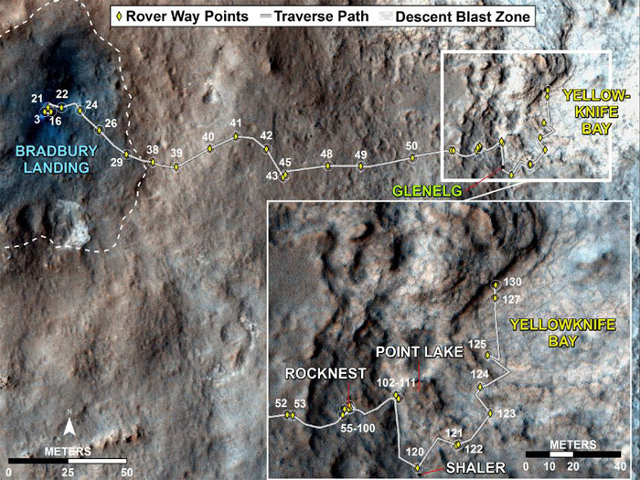
Curiosity Traverse Map, Sol 130
This map traces where NASA's Mars rover Curiosity drove between landing at a site subsequently named "Bradbury Landing," and the position reached during the mission's 130th Martian day, or sol, (Dec. 17, 2012). The inset shows the most recent legs of the traverse in greater detail.
The rover entered a shallow depression called "Yellowknife Bay" with a drive of about 86 feet (26.1 meters) on Sol 125 (Dec. 12). It subsequently drove about 108 feet (32.8 meters) on Sol 127 (Dec. 14) and about 18 feet (5.6 meters) on Sol 130.
Yellowknife Bay is a potential location for selection of the first target rock for Curiosity's hammering drill. The ground in this basin is a different type of terrain from the terrain Curiosity crossed getting there from Bradbury Landing. Nighttime observations from orbit indicate that the ground in the basin retains daytime heating better than the terrain around Bradbury Landing does, a property called high thermal inertia.
The mapped area is within Gale Crater and north of the mountain called Mount Sharp in the middle of the crater. After the first use of the drill, the rover's main science destination will be on the lower reaches of Mount Sharp.
-
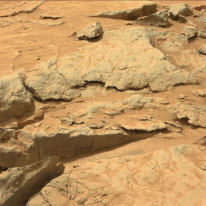
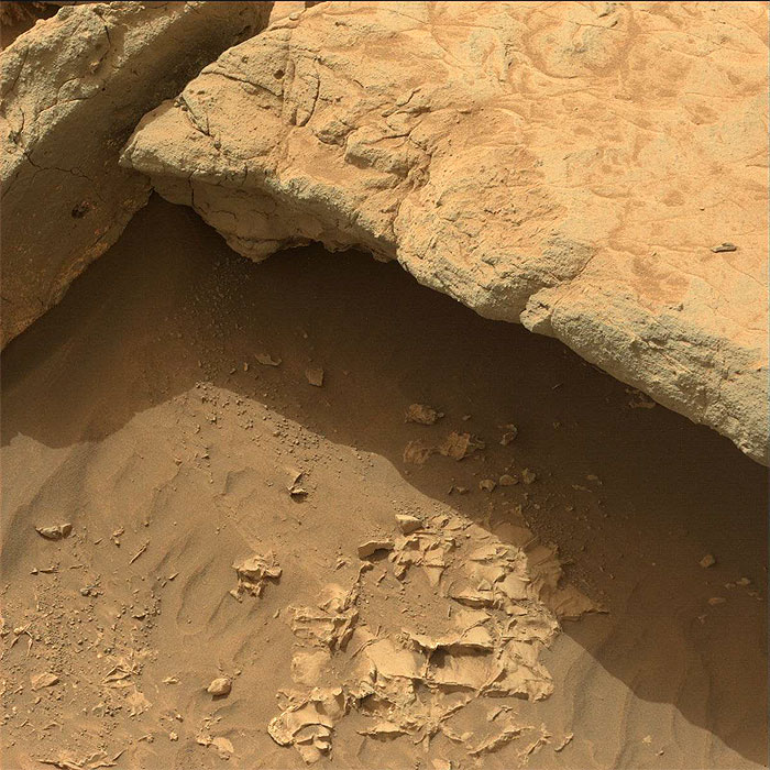
This image was taken by Mastcam: Left (MAST_LEFT) onboard NASA's Mars rover Curiosity on Sol 130 (2012-12-17 17:30:53 UTC) .
-
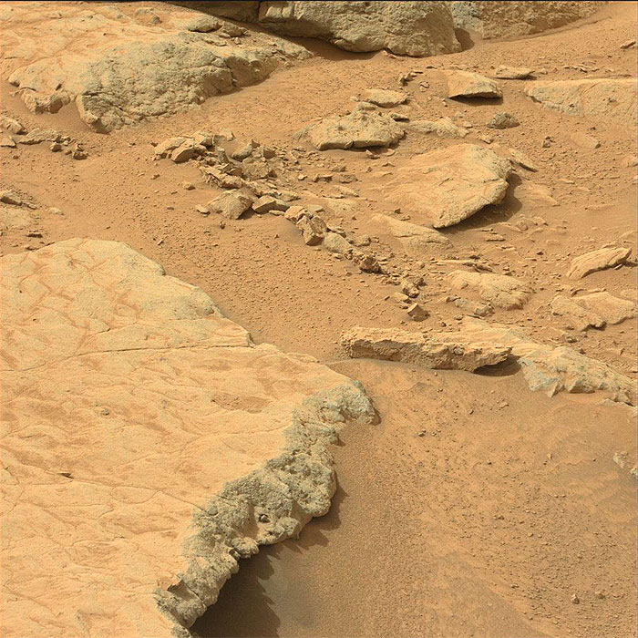
This image was taken by Mastcam: Left (MAST_LEFT) onboard NASA's Mars rover Curiosity on Sol 130 (2012-12-17 17:32:17 UTC) .
-
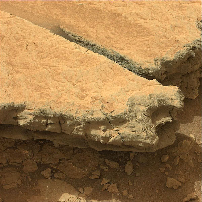
This image was taken by Mastcam: Left (MAST_LEFT) onboard NASA's Mars rover Curiosity on Sol 130 (2012-12-17 17:33:14 UTC) .
-
This image was taken by Mastcam: Left (MAST_LEFT) onboard NASA's Mars rover Curiosity on Sol 130 (2012-12-17 17:34:10 UTC) .
-
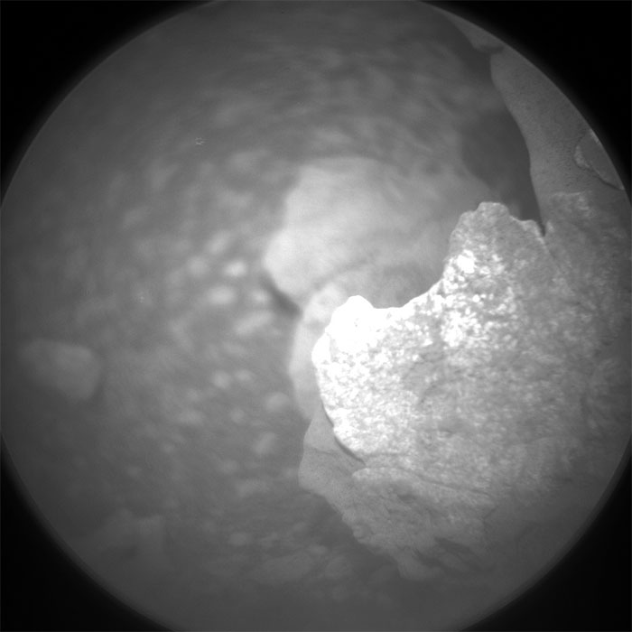
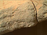
This image was taken by ChemCam: Remote Micro-Imager (CHEMCAM_RMI) onboard NASA's Mars rover Curiosity on Sol 130 (2012-12-17 15:53:54 UTC) .
-
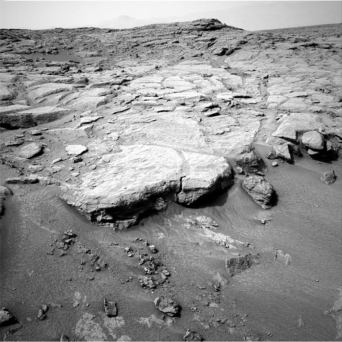
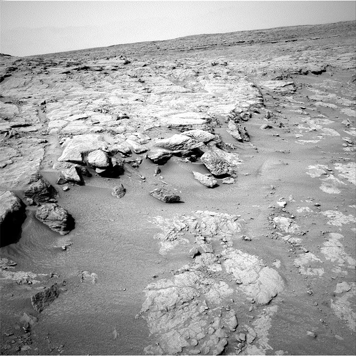
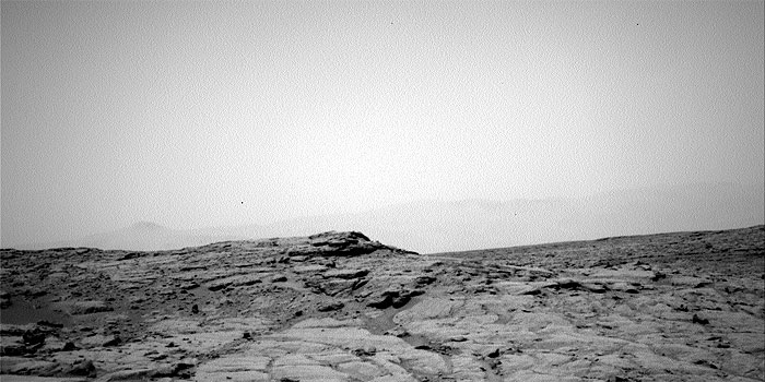
This image was taken by Navcam: Right A (NAV_RIGHT_A) onboard NASA's Mars rover Curiosity on Sol 130 (2012-12-17 17:24:58 UTC) .
-
This image was taken by Navcam: Right A (NAV_RIGHT_A) onboard NASA's Mars rover Curiosity on Sol 130 (2012-12-17 17:27:12 UTC) .
-
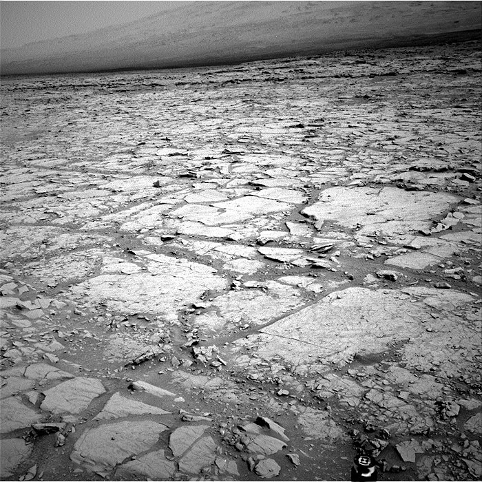
This image was taken by Navcam: Right A (NAV_RIGHT_A) onboard NASA's Mars rover Curiosity on Sol 130 (2012-12-17 17:27:40 UTC) .
-
This image was taken by Navcam: Right A (NAV_RIGHT_A) onboard NASA's Mars rover Curiosity on Sol 130 (2012-12-17 17:29:10 UTC) .
-
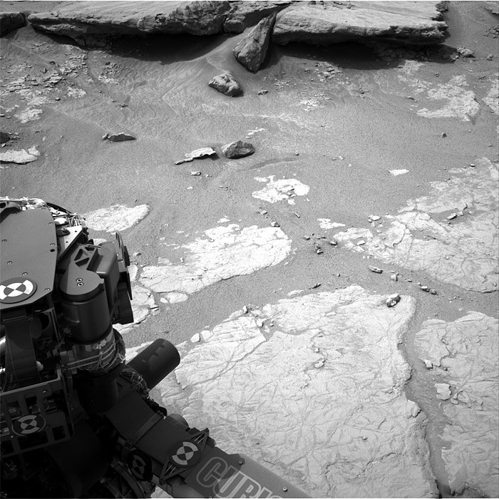
This image was taken by Navcam: Left A (NAV_LEFT_A) onboard NASA's Mars rover Curiosity on Sol 130 (2012-12-17 17:11:46 UTC) .
-
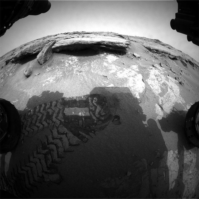
This image was taken by Front Hazcam: Left A (FHAZ_LEFT_A) onboard NASA's Mars rover Curiosity on Sol 130 (2012-12-17 17:23:32 UTC) .
-
This image was taken by Navcam: Left A (NAV_LEFT_A) onboard NASA's Mars rover Curiosity on Sol 131 (2012-12-18 16:20:09 UTC) .
-
This image was taken by Front Hazcam: Left A (FHAZ_LEFT_A) onboard NASA's Mars rover Curiosity on Sol 131 (2012-12-18 14:01:51 UTC) .
-
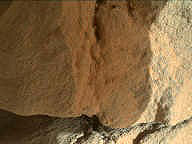
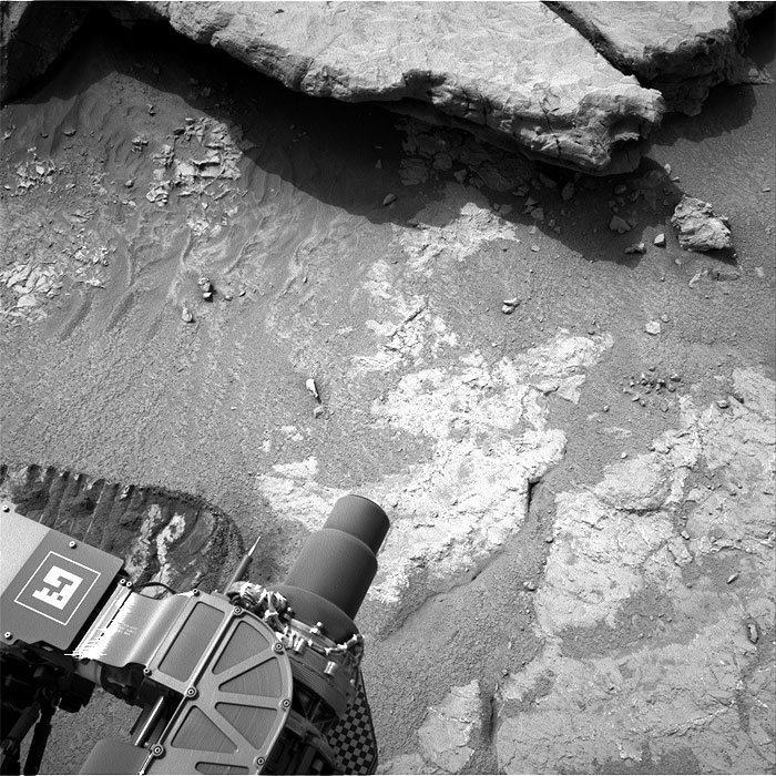
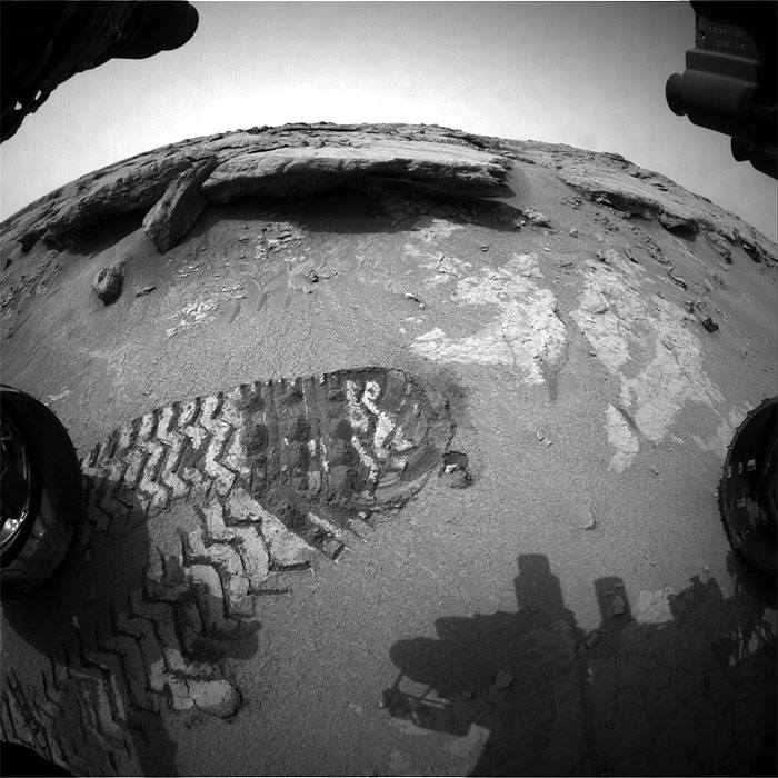
This image was taken by Mars Hand Lens Imager (MAHLI) onboard NASA's Mars rover Curiosity on Sol 132 (2012-12-19 20:15:20 UTC) .
-
Fotos: NASA
6863 Views