
-
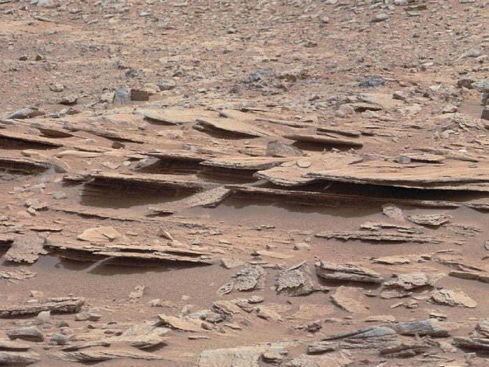
Layered Martian Outcrop 'Shaler' in 'Glenelg' Area
The NASA Mars rover Curiosity used its Mast Camera (Mastcam) during the mission's 120th Martian day, or sol (Dec. 7, 2012), to record this view of a rock outcrop informally named "Shaler."
The outcrop's striking layers, some at angles to each other in a pattern called crossbedding, made it a target of interest for the mission's science team. The site is near where three types of terrain meet at a place called "Glenelg," inside Gale Crater.
The area covered by the image spans about 3 feet (90 centimeters) in the foreground. Figure 1 includes a 10-centimeter (4-inch) scale bar.
The image has been white-balanced to show what the rock would look like if it were on Earth. Figure 2 is a raw-color version, showing what the rock looks like on Mars to the camera.
Malin Space Science Systems, San Diego, developed, built and operates Mastcam. JPL, a division of the California Institute of Technology, Pasadena, manages the Mars Science Laboratory Project for NASA's Science Mission Directorate, Washington. JPL designed and built the project's Curiosity rover.
-
Mars Science Laboratory Mission Status Report
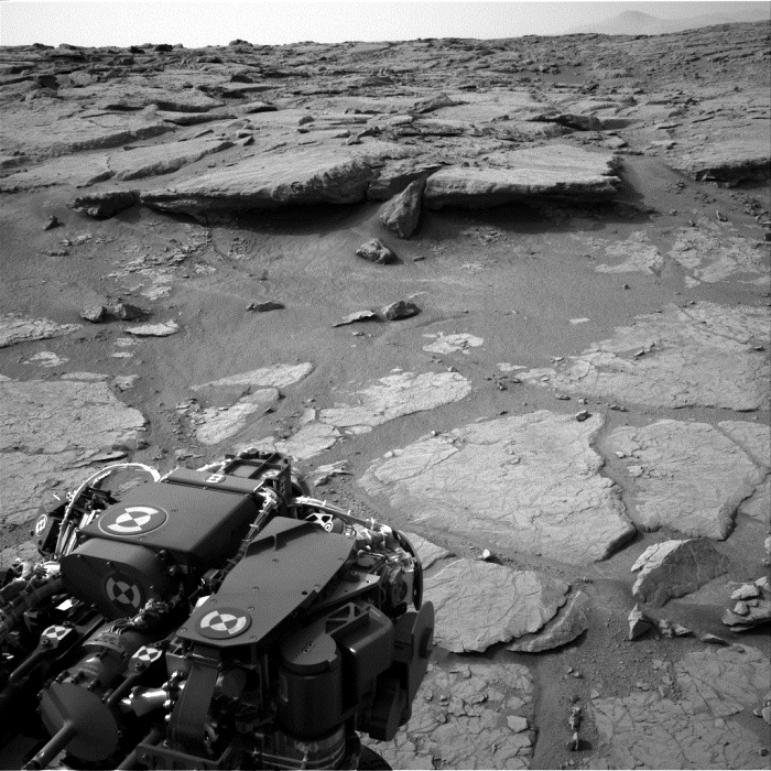
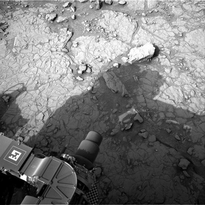
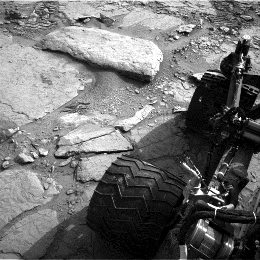
PASADENA, Calif. -- The NASA Mars rover Curiosity drove 63 feet (19 meters) northeastward early Monday, Dec. 10, approaching a step down into a slightly lower area called "Yellowknife Bay," where researchers intend to choose a rock to drill.
The drive was Curiosity's fourth consecutive driving day since leaving a site near an outcrop called "Point Lake," where it arrived last month. These drives totaled 260 feet (79 meters) and brought the mission's total odometry to 0.37 mile (598 meters).
The route took the rover close to an outcrop called "Shaler," where scientists used Curiosity's Chemistry and Camera (ChemCam) instrument and Mast Camera (Mastcam) to assess the rock's composition and observe its layering. Before departure from Point Lake, a fourth sample of dusty sand that the rover had been carrying from the "Rocknest" drift was ingested and analyzed by Curiosity's Sample Analysis at Mars (SAM) instrument.
Curiosity ended Monday's drive about 30 percent shorter than planned for the day when it detected a slight difference between two calculations of its tilt, not an immediate risk, but a trigger for software to halt the drive as a precaution. "The rover is traversing across terrain different from where it has driven earlier, and responding differently," said Rick Welch, mission manager at NASA's Jet Propulsion Laboratory, Pasadena, Calif. "We're making progress, though we're still in the learning phase with this rover, going a little slower on this terrain than we might wish we could."
Curiosity is approaching a lip where it will descend about 20 inches (half a meter) to Yellowknife Bay. The rover team is checking carefully for a safe way down. Yellowknife Bay is the temporary destination for first use of Curiosity's rock-powdering drill, before the mission turns southwestward for driving to its main destination on the slope of Mount Sharp.
JPL, a division of the California Institute of Technology, Pasadena, manages the Mars Science Laboratory Project and the mission's Curiosity rover for NASA's Science Mission Directorate, Washington. JPL designed and built the rover.
-
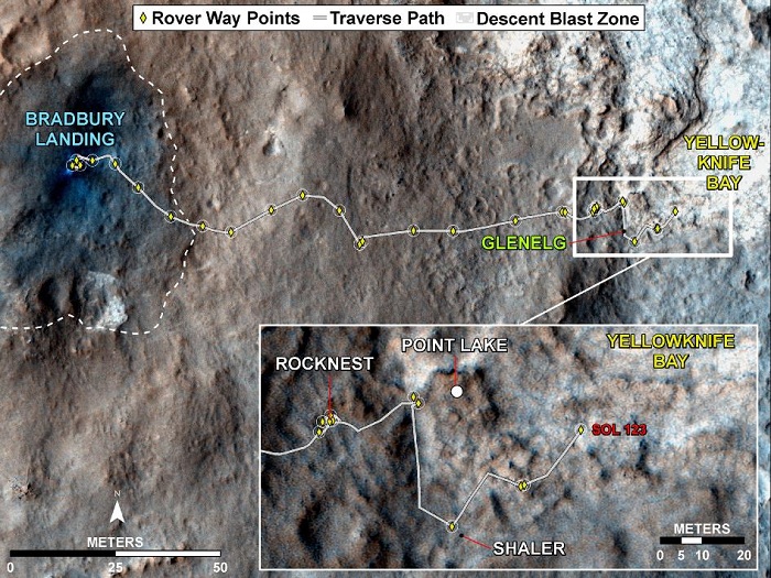
Curiosity Traverse Map, Sol 123
This map traces where NASA's Mars rover Curiosity drove between landing at a site subsequently named "Bradbury Landing," and the position reached during the mission's 123rd Martian day, or sol, (Dec. 10, 2012). The inset shows the most recent legs of the traverse in greater detail.
With the Sol 123 drive of 63 feet (19 meters), the rover approached a step down into an area called "Yellowknife Bay," which is a potential location for selecting the first target rock for Curiosity's hammering drill. The drive brought the mission's total driving odometry to 0.37 mile (598 meters).
-
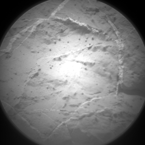
This image was taken by ChemCam: Remote Micro-Imager (CHEMCAM_RMI) onboard NASA's Mars rover Curiosity on Sol 126 (2012-12-13 13:16:16 UTC) .
-
This image was taken by ChemCam: Remote Micro-Imager (CHEMCAM_RMI) onboard NASA's Mars rover Curiosity on Sol 126 (2012-12-13 13:16:16 UTC) .
-
This image was taken by ChemCam: Remote Micro-Imager (CHEMCAM_RMI) onboard NASA's Mars rover Curiosity on Sol 127 (2012-12-14 13:43:56 UTC) .
-
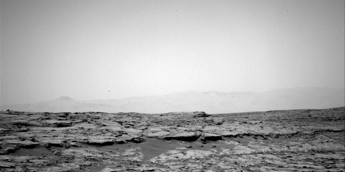
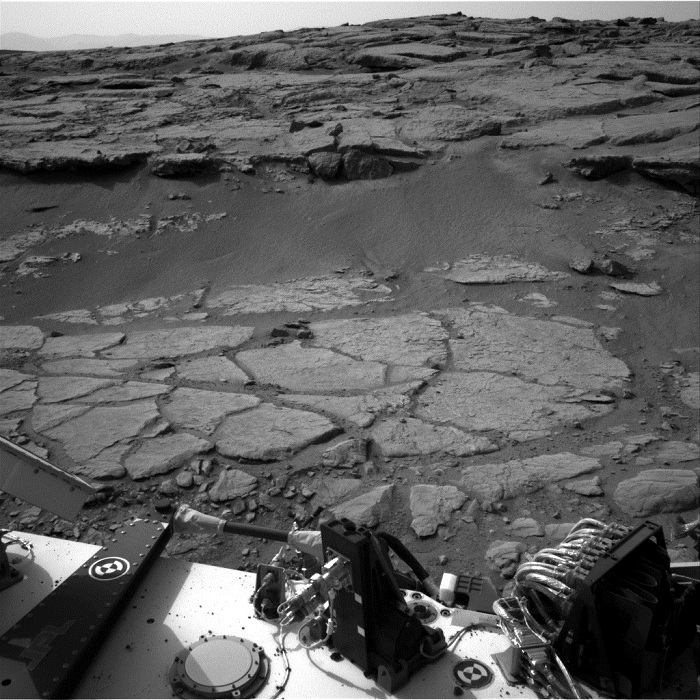
This image was taken by Navcam: Right A (NAV_RIGHT_A) onboard NASA's Mars rover Curiosity on Sol 127 (2012-12-14 16:40:39 UTC)
-
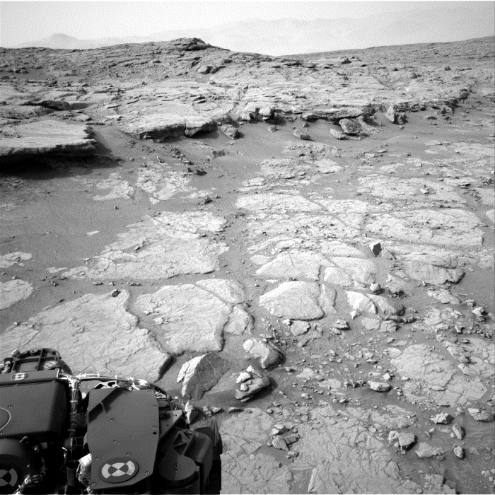
This image was taken by Navcam: Right A (NAV_RIGHT_A) onboard NASA's Mars rover Curiosity on Sol 127 (2012-12-14 16:43:00 UTC) .
-
This image was taken by Navcam: Left A (NAV_LEFT_A) onboard NASA's Mars rover Curiosity on Sol 127 (2012-12-14 16:45:37 UTC) .
-
This image was taken by Navcam: Left A (NAV_LEFT_A) onboard NASA's Mars rover Curiosity on Sol 127 (2012-12-14 16:40:03 UTC) .
-
This image was taken by Navcam: Left A (NAV_LEFT_A) onboard NASA's Mars rover Curiosity on Sol 127 (2012-12-14 16:41:14 UTC) .
-
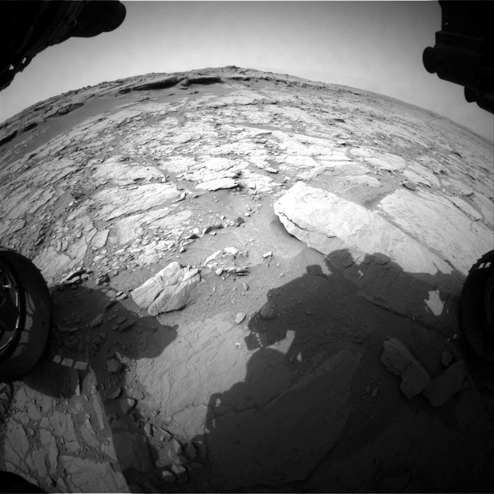
This image was taken by Front Hazcam: Left A (FHAZ_LEFT_A) onboard NASA's Mars rover Curiosity on Sol 127 (2012-12-14 15:32:26 UTC) .
-
Fotos: NASA