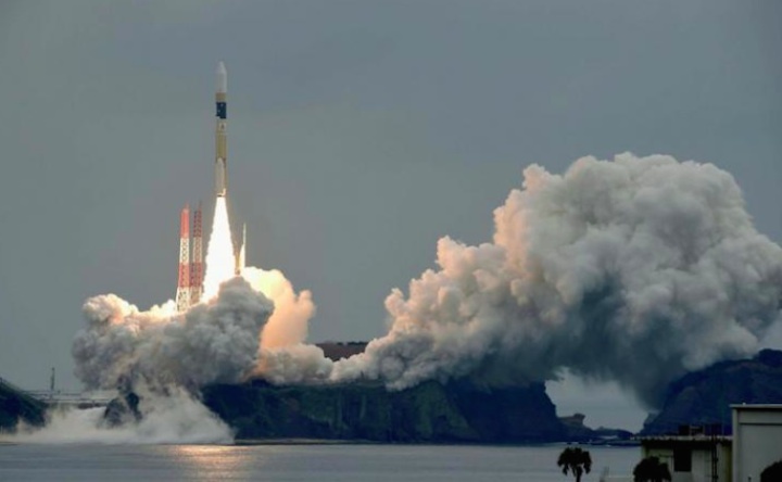
Japan deployed the first of three navigation satellites it intends to launch in the next year Thursday, sending a 4.4-ton (4-metric ton) spacecraft on the way to a high-altitude orbital perch on top of an H-2A rocket to improve positioning data for drivers, hikers and government agencies in East Asia.
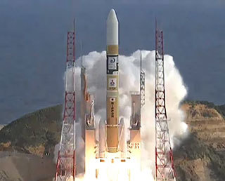
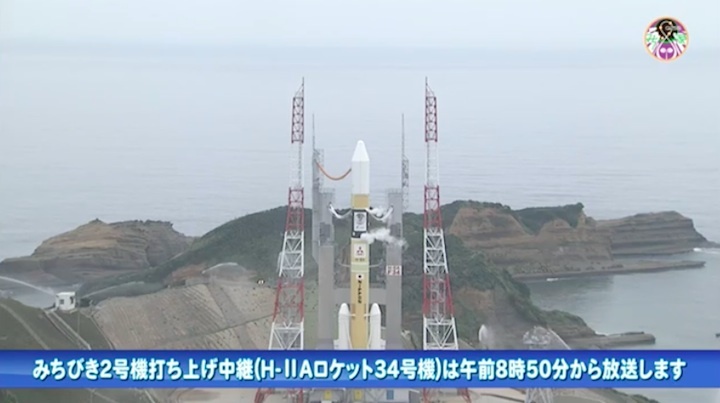
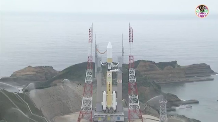
The Japanese-built navigation satellite, named Michibiki 2, began its climb into orbit at 0017:46 GMT Thursday (8:17:46 p.m. EDT Wednesday) aboard an H-2A rocket launched from the Tanegashima Space Center in southwestern Japan.
The H-2A launcher climbed into an overcast sky over the island spaceport, heading east over the Pacific Ocean as it shed two strap-on solid rocket boosters and a nose shroud in the first five minutes of the flight.
The first stage’s LE-7A main engine, burning liquid hydrogen and liquid oxygen, switched off around six-and-a-half minutes after liftoff, and an upper stage LE-5B engine consuming the same cryogenic propellant mixture ignited for two burns to dispatch the Michibiki 2 satellite into an arcing, elliptical orbit.
The H-2A’s guidance computer intended to place Michibiki 2 in an orbit ranging from 155 miles (250 kilometers) to 22,456 miles (36,140 kilometers) in altitude, inclined 31.9 degrees to the equator.
Figures on the orbit achieved during Thursday’s launch were not immediately available, but the Japan Aerospace Exploration Agency and Mitsubishi Heavy Industries, the H-2A’s builder and commercial launch operator, declared the mission successful.
The mission “proceeded as planned, and the separation of the satellite (was) confirmed 28 minutes, 21 seconds, after the launch time,” JAXA said in a statement.
Thursday’s flight gives the H-2A rocket a 33-for-34 success record since its first liftoff in August 2001.
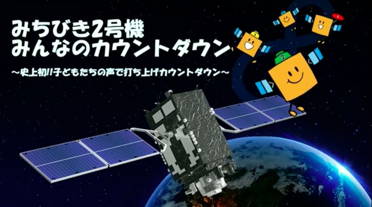
Michibiki 2 is the second member of a four-satellite regional navigation network the Japanese government is deploying over the Asia-Pacific.
Joining a similar spacecraft launched in September 2010, Michibiki 2 will help give users of the Global Positioning System’s navigation services better estimates of their position, especially in cities and remote regions, where skyscrapers, trees and mountains can block signals from GPS satellites.

Two more stations will join Japan’s Quasi-Zenith Satellite System following launches on H-2A rockets over the next 10 months. The four-satellite fleet, entirely compatible with the GPS network, will be positioned in orbits that loiter over Japan.
GPS satellites, operated by the U.S. Air Force, circle Earth in lower orbits, meaning different spacecraft are visible in the sky at different times.
Made by Mitsubishi Electric Corp., Michibiki 2 will circle the Earth at a 44-degree angle to the equator, similar to the perch occupied by Japan’s first navigation satellite launched nearly seven years ago, according to a press kit released by JAXA. Its final orbital high point will be approximately 24,000 miles (38,500 kilometers) over the northern hemisphere and its lowest altitude will be 20,500 miles (33,100 kilometers).
The orbit will allow Michibiki 2 to complete one lap around Earth in nearly 24 hours, maintaining its position in the sky over the Asia-Pacific. Projected against Earth’s surface, Michibiki’s ground track will chart an asymmetric figure-eight pattern stretching from Japan to Australia as it alternates north and south of the equator.
Michibiki 2 will be near-zenith, or almost straight up, in the Japanese sky for about eight hours each day. With the launch of two follow-on satellites and the single spacecraft already in orbit, the four-station constellation will permit continuous coverage of Japan.
Michibiki means “guiding” or “showing the way” in Japanese.
It takes four GPS satellites to calculate a precise position on Earth, but a Michibiki satellite broadcasting the same four L-band signals will give a receiver an estimate if there are not enough GPS satellites visible, or it can help produce a more accurate position calculation even with full GPS service.
“The Quasi-Zenith Satellite System is the first in the world to transmit sub-meter and centimeter level augmentation signals,” said Hiromichi Moriyama, executive director of the National Space Policy Secretariat in Japan’s Cabinet Office. “It will be in charge of communications linking evacuation shelters and emergency response headquarters in times of disaster.”
Officials say urban planning, agriculture, disaster response and national security will be supported by the four-satellite navigation fleet.
“Nations are making proactive efforts based on the awareness that satellite positioning technologies are the foundation of next-generation industry, including the Internet of Things,” Moriyama said.
Yasunori Futagi, Michibiki 2 project manger at Mitsubishi Electric’s Kamakura Works satellite factory, said Japan’s second navigation satellite is lighter than the first one, featuring more compact solar panels. Engineers were able to load more propellant into Michibiki 2, and increased the satellite’s design life from 12 years to 15 years, he said.
While Russia, China and the European Union have their own partially-complete global satellite navigation networks — analogs to the U.S. military’s GPS fleet — Japan and India opted to develop services to augment positioning and timing signals over their on territories.
India’s regional satellite navigation system has seven satellites, and Japan’s Cabinet Office, a department in the Japanse government, has plans to expand the Quasi-ZZenith Satellite System to seven spacecraft, if the proposal receives funding.
Japanese officials plan to make QZSS regional navigation project operational some time in 2018.
Quelle: SN

