.
21.06.2015
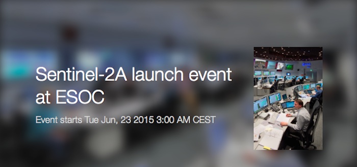
Live from ESA’s Space Operations Centre (ESOC) in Darmstadt, Germany: follow the event to celebrate the launch of the first satellite for the Sentinel-2 ‘colour vision’ mission.
The first in the two-satellite mission, Sentinel-2A, is set for launch from Europe’s Spaceport in French Guiana on 23 June at 01:52 GMT (03:52 CEST).
During the event at ESOC, a number of the key players in the mission will present on preparing the satellite for launch and discuss its benefits and applications.
The live webstream will begin at 01:00 GMT (03:00 CEST) and end at 04:00 GMT (06:00 CEST).
Programme (all times in GMT):
01:00 Welcome addresses by representatives from ESA, the European Commission and the German government
01:20 Status check and introduction to Europe’s Spaceport
01:25 All about Sentinel-2: the hardware, the data, the science
01:40 Live broadcast from French Guiana
01:52 Liftoff
02:00 Moderated discussion with a panel of Sentinel-2 data users
02:20 Q&A about the mission operations, EDRS and the Copernicus programme
02:20 Break
02:40 Live broadcast from French Guiana: status check
02:50 Break
03:00 Live broadcast from French Guiana: status check
03:10 Break
03:30 Press conference
04:00 End of live coverage from ESOC
-
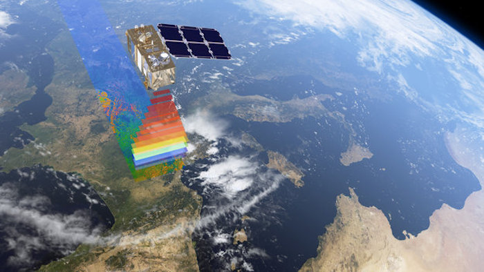
Europas neueste Erdbeobachtungsmission besteht aus den beiden baugleichen Umweltsatelliten Sentinel-2A und Sentinel-2B, die getrennt voneinander gestartet und, um 180 Grad versetzt, in dieselbe Umlaufbahn eingebracht werden. Alle fünf Tage decken beide Satelliten den weltweiten Zustand der Landoberflächen und ihrer Vegetation zwischen 84 Grad nördlicher und 56 Grad südlicher Breite ab.
Sentinel-2A startbereit
Der Weltraumwächter Sentinel-2A soll am 23. Juni 2015 um 3:52 Uhr MESZ mit einer Vega-Trägerrakete vom Europäischen Weltraumbahnhof Kourou in Französisch-Guayana gestartet werden. Sein Zwilling Sentinel-2B folgt im zweiten Halbjahr 2016.
Der 1140 Kilogramm schwere optische Fernerkundungssatellit Sentinel-2A ist nach dem Radarsatelliten Sentinel 1 der zweite „Wächter“ des europäischen Copernicus-Programms. Er wird die Erde in 786 Kilometern Höhe auf einer sonnensynchronen Bahn umkreisen, so dass er die gleichen Gebiete immer zur gleichen Ortszeit überfliegt. Durch die dadurch immer gleichen Beleuchtungsverhältnisse ist das die ideale Voraussetzung, um qualitative und quantitative Veränderungen der Erdoberfläche auf den Bildern feststellen zu können.
Sentinel-2A wird optische Daten in hoher Auflösung liefern, die als Grundlage für operationelle Dienste in den Bereichen Landwirtschaft (Landnutzung und -bedeckung, Ernteprognosen, Wasser- und Düngerbedarf), Forstwirtschaft (Bestandsdichte, Gesundheitszustand, Waldbrände), Überwachung von Gewässern, Raumplanung, und Katastrophenmanagement dienen. Zeitnahe Aufnahmen von Überschwemmungen, Vulkanausbrüchen und Erdrutschen tragen zur Erstellung von aktuellen Karten bei Naturkatastrophen bei.
Das Auge von Sentinel-2
Zentrales Element von Sentinel-2 ist der Multispectral Imager MSI– das Auge des Umweltsatelliten. Die hochauflösende Kamera generiert optische Bilder im sichtbaren, nahen und kurzwelligen Infrarotbereich in 13 Spektralkanälen. Diese Kanäle liegen im Bereich vom sichtbaren Blau (440 Nanometer) bis zum kurzwelligen Infrarot (2190 Nanometer), mit einer Pixelauflösung von bis zu zehn Metern. Drei Spektralkanäle davon sind primär für eine Atmosphärenkorrektur von Wolken-, Wasserdampf- und Aerosol-Einfluss ausgelegt und liefern Daten mit 60 m großen Pixeln.
Das Hightech-Instrument liefert kontinuierlich Aufnahmen in einem 290 km breiten Abtaststreifen – deutlich mehr als bei Landsat (185 Kilometer) oder SPOT (120 Kilometer). Die Kombination aus hochauflösenden Spektralkanälen, einem gigantischen Sichtfeld und einer regelmäßigen weltweiten Abdeckung alle zehn (Sentinel-2A) beziehungsweise fünf Tage (Sentinel-2A/B) ermöglicht neue Anwendungsperspektiven für Landoberflächen und Vegetation. Nach seiner Inbetriebnahme wird Sentinel 2 der modernste Umweltsatellit für Daten im optischen und nahen Infrarotbereich sein.
Ernteprognosen und Klimaszenarien
Die Multispektralkamera von Sentinel-2 verfügt über drei schmale Bänder im roten Spektralbereich, die andere Fernerkundungssatelliten nicht besitzen. Vegetation weist nämlich innerhalb eines Jahres einen typischen und sehr starken Anstieg der Reflexion vom roten zum nahen Infrarotbereich auf. Da die Veränderungen je nach Pflanzenart und Jahreszeit unterschiedlich stark ausgeprägt sind, lassen sich nicht nur Pflanzenarten unterscheiden und bestimmen, sondern auch deren Chlorophyll- und Blattwassergehalt und damit deren Gesundheitszustand. Dies wiederum erlaubt Rückschlüsse auf das Wachstum der Pflanzen und ermöglicht eine Verbesserung von Ernteprognosen.
Sentinel-2 liefert aber auch Informationen über den Blattflächenindex. Das ist eine Schlüsselgröße für die Abschätzung der Biomasse und der damit verbundenen Verdunstungsrate und die Absorbtion von Kohlendioxid. Sie beschreibt den Einfluss von Vegetation auf die Abflussbildung. Wie viel Regenwasser Blätter abfangen hängt von der Art der Pflanzen, ihrer Dichte und der Jahreszeit ab. Davon wiederum hängt ab, wie viel Wasser den Boden erreicht oder vorher durch Verdunstung verloren geht.
Wachsende Weltbevölkerung und Ernährungssicherheit



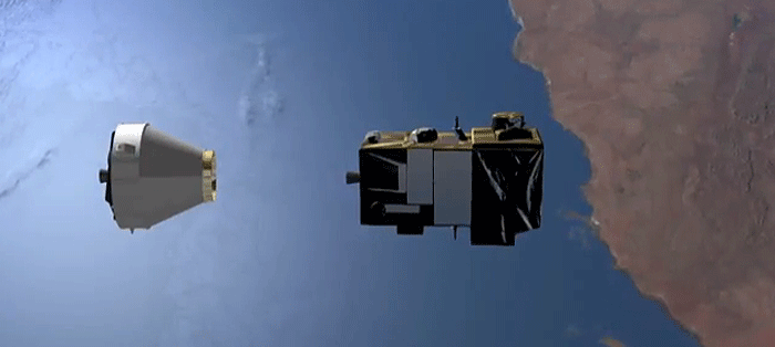
Sentinel-2 füllt in punkto Überdeckung eine wichtige Lücke für die Landwirte in Europa. Da der Satellit in kurzen Zeitabständen dieselben Gebiete überfliegt, lassen sich frühzeitig Veränderungen auf den Feldern beobachten, so dass die Landwirte entsprechende Maßnahmen treffen können.
Doch nicht nur europäische Land- und Forstwirte, sondern weltweit jeder Interessent kann über die ESA auf die kostenfreien Satellitendaten zugreifen.
Aus den Veränderungen der landwirtschaftlichen Flächen lassen sich genauere Ernteprognosen ableiten. Zudem ermöglichen die Satelliteninformationen eine Optimierung bei Bewässerung und Düngemitteleinsatz. Sentinel-2 leistet mit den aktuellen Daten einen wichtigen Beitrag zur Ernährung der stetig wachsenden Weltbevölkerung. Ernährungssicherheit der Weltbevölkerung ist ein zunehmend brisantes Thema.
Mit Hilfe der Landnutzungsdaten sollen Politiker und Behörden eine Planungsgrundlage erhalten um der weltweiten Zersiedlung entgegen zu wirken. Die Landfläche des blauen Planeten bleibt konstant bei 149 Millionen Quadratkilometern. Demgegenüber muss eine ständig abnehmende landwirtschaftliche Nutzfläche immer mehr Weltbürger versorgen.
60 Firmen an Sentinel 2 beteiligt
Sentinel-2 ist das Ergebnis einer engen Zusammenarbeit zwischen der ESA, der Europäischen Kommission, der Industrie sowie Dienstleistern und Datennutzern. Der Satellit wurde von 60 Partnern unter der Führung von Airbus Defence and Space in Immenstaad bei Friedrichshafen entwickelt und gebaut. Die Französische Raumfahrtagentur CNES sowie das Deutsche Zentrum für Luft- und Raumfahrt, DLR, unterstützten das Projekt. Unter den Firmen befindet sich auch die Tesat Spacecom GmbH aus Deutschland. Sie steuerte ein Laserterminal bei, mit dessen Hilfe die riesigen Datenmengen von etwa einem Terabit pro Tag über das europäische Datenrelaissystem EDRS zur Erde übertragen werden.
Die nominale Missionsdauer der Instrumente von Sentinel-2 beträgt sieben Jahre. Die Satelliten-Ressourcen sind jedoch so ausgelegt, dass eine Verlängerung der Mission um fünf weitere Jahre möglich ist.

Quelle: ESA
-
Update: 22.06.2015
.

Quelle: arianespace
-
Update: 23.06.2015
.
Arianespace orbits second satellite in Copernicus system, Sentinel-2A, on fifth Vega launch

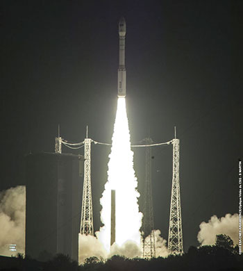
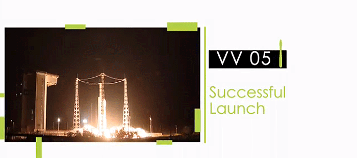
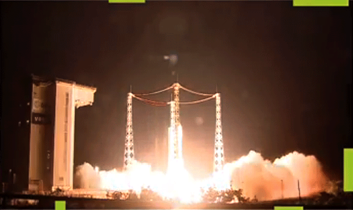
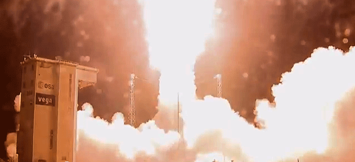
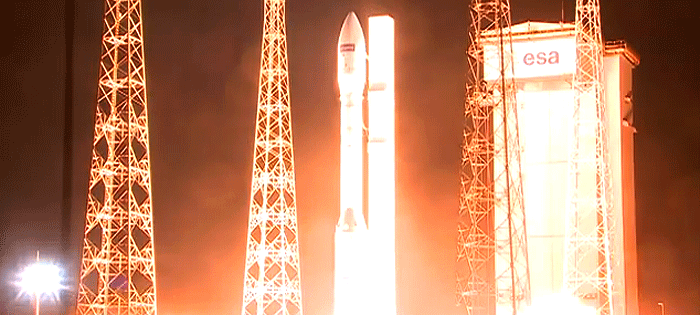
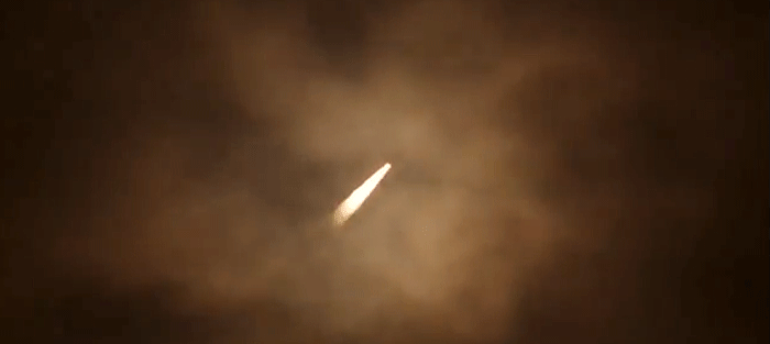
Arianespace orbited the Sentinel-2A satellite on its fifth launch of the year, also the fifth launch overall by Vega, the latest member of its launcher family. Sentinel-2A is the second satellite from the European Commission's Copernicus program to be launched by Arianespace, under a contract with the European Space Agency (ESA). Sentinel-2A lifted off on June 22 at 10:51:58 pm local time from the Guiana Space Center (CSG) in Kourou, French Guiana.
Arianespace supports sustainable development
Sentinel-2A is the second satellite from the Copernicus program to be launched by Arianespace for the European Commission, under a contract with the European Space Agency (ESA). Built by Airbus Defence and Space as prime contractor, this optical Earth observation satellite is mainly designed to monitor land masses and coastal areas across the planet.
Copernicus is the European Commission's second space program, following Galileo. It aims to give Europe continuous, independent and reliable access to Earth observation data. The Copernicus program spans a wide range of missions and services, allowing us to better control and protect our environment, and better understand the phenomena underlying climate change, while also improving the safety and security of European citizens.
Over and above the Copernicus program, for the last 35 years Arianespace has supported sustainable development by launching satellites dedicated to environmental protection and monitoring, meteorology and navigation. Sentinel-2A joins the 45 satellites already launched by Arianespace for these applications over the last three decades.
Guaranteeing access to space for Europe
With this launch for the European Commission and ESA, Arianespace continues to fulfill its mission of guaranteeing independent access to space for Europe. Arianespace also continues to carry out its 2015 launch manifest, featuring a number of government missions calling on the company's entire range of launchers to handle four distinct applications:
- Technological development with the IXV (launched by Vega on February 11) and scientific exploration with Lisa Pathfinder (to be launched by Vega in the second half of the year).
- Navigation: three Galileo missions (Soyuz – March 27, then in September and December).
- Secure communications: Sicral-2 (Ariane 5 – April 26).
- Environmental protection and meteorology: Sentinel-2A (Vega – June 22) and MSG-4 (Ariane 5 – scheduled July 8).
Vega: successful ramp-up and confirmed business success
Today's Sentinel-2A launch marks the fifth Vega mission – all successful. It also marks the beginning of a ramp-up in operations, in line with its order book and to meet thetarget of three launches in 2015. Following the IXV launch in February, and the Sentinel-2A launch today, the Lisa Pathfinder satellite will be orbited by a Vega rocket by the end of 2015.
This operational success goes hand in hand with the launcher's breakthrough in recent months in the Earth observation market. Vega has won new export contracts, which now account for more than 70% of its order book value. Arianespace has signed three new launch contracts since the beginning of the year, including one for two Falcon Eye satellites for the United Arab Emirates, along with the Perusat-1 satellite for the Peruvian government, and a group of Skybox satellites for Google/Skybox Imaging.
Arianespace's purchase of a batch of ten Vega launchers in October 2014 from the ELV consortium, comprising the manufacturer Avio and the Italian space agency ASI, reflects the market's confidence in this launcher, which joined the Arianespace family in 2012.
Following the announcement of mission success, Arianespace Chairman and CEO Stéphane Israël said: "In the run-up to the COP21 climate change conference, to be held in Paris at the end of the year, Arianespace is very proud of our contribution to Europe's actions in support of sustainable development, by deploying satellites in the Copernicus system. After the launch of Sentinel-1A by a Soyuz rocket in April 2014, we have now used a Vega rocket to boost Sentinel-2A into orbit. I would like to thank all of our partners who contributed to this latest success: our customers, of course, plus the European Commission and the European Space Agency for their ongoing confidence. I would also like to extend my thanks to ELV, our prime contractor on Vega, and its shareholders, Avio and the Italian space agency, for the quality of this launcher which continues to prove its best-in-class performance, day after day, and to Airbus Defence and Space, for the technological excellence of Sentinel-2A. My thanks for this fifth successful launch of the year also go to all teams in French Guiana, including our own people, of course, and also our partner CNES-CSG and our contractors on the ground."
.


Quelle: arianespace
4476 Views
