11.03.2020

SAN FRANCISCO – Radar satellite operator Iceye released a preview March 9 of a video product it plans to offer commercially by the end of 2020.
Iceye released a demonstration video on YouTube of Iceye Synthetic Aperture Radar (SAR) video, a product the Finnish startup creates with imagery gathered by a single satellite staring at a precise location for 20 seconds or more. Iceye then splits the data into frames, revealing movement at the target location.
“Analyzing movement in a scene is especially useful for site activity monitoring,” said Pekka Laurila, Iceye chief strategy officer and co-founder, said by email. Iceye SAR video could be used, for example, to track the movement of trucks, train cars, airplanes or vessels at a location, he added.
Iceye operates a constellation of three SAR satellites. The company plans to more than double the size of its SAR constellation in 2020. Iceye established a U.S. office in the San Francisco Bay Area earlier this year.
Iceye is still refining its SAR video product, which it plans to offer to customers by the end of the year in a format that works with standard Geographic Information System tools. Once the product is sold commercially, Iceye plans to offer analysts detailed data on each frame of a video.
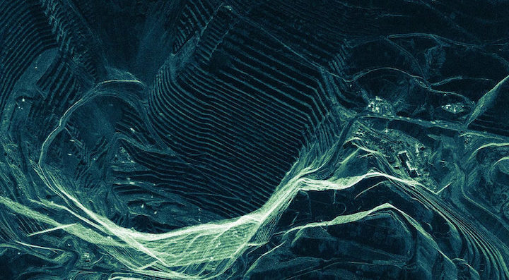
Iceye’s SAR video demonstration on YouTube shows the movement of vessels at a port in Busan, South Korea; airplanes in motion at the United Kingdom’s Heathrow Airport; city life in Las Vegas; mining activity at Utah’s Bingham Canyon Mine; and city life in Tokyo’s Shinjuku neighborhood. Iceye created the demonstration videos by splitting roughly 20-seconds of imagery of each location into 10 data frames. Imagery resolution is as high as one meter.
“ICEYE is the first to demonstrate this capability from orbit to the broad SAR data market,” Laurila said. Working with customers, Iceye expects to discover “many use cases” for the data an imagery, he added.
Quelle: SN
