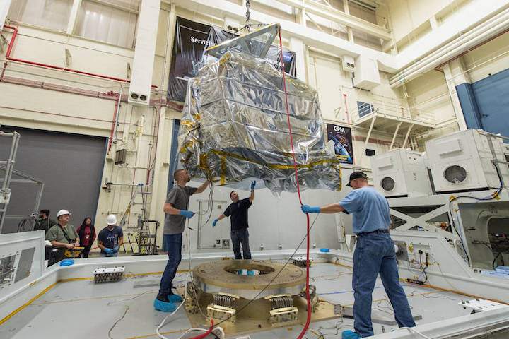
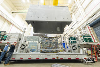
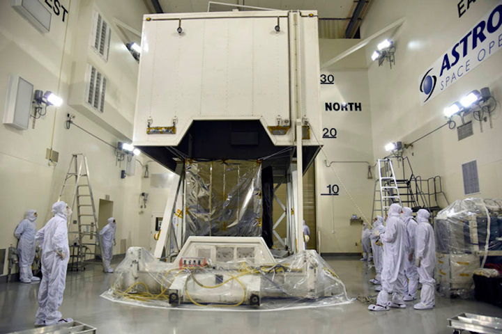
As summer heat grips the Central Coast, NASA’s newest satellite to monitor changes in the planet's ice sheets, glaciers and sea ice is undergoing preparations for launch from Vandenberg Air Force Base aboard the final Delta II rocket next month.
The Ice, Cloud and land Elevation Satellite-2, or ICESat-2, arrived at Vandenberg in June, three months before its scheduled launch on United Launch Alliance’s last Delta II rocket.
Liftoff now is planned for Sept. 15, three days later than planned, NASA officials announced this week. The rocket’s blastoff is set to occur during a 40-minute launch window opening at 5:46 a.m.
ICESat-2 will use a laser instrument, called the Advanced Topographic Laser Altimeter System (ATLAS), to collect measurements of Earth’s surface in what NASA scientists say will be unprecedented detail.
That instrument traveled by truck from Maryland to a Northrop Grumman facility in Arizona, where it was installed on the ICESat-2 spacecraft “bus,” which provides navigation, power and communications to allow the satellite's operation.
ICESat-2 took another truck trek to get to Vandenberg, arriving in mid-June, after a journey that required the team to monitor the satellite’s slight movements and temperatures.
Since arriving at Vandenberg, ICESat has been unpacked a cleanroom operated by Astrotech Corp. and completed final tests, including firing the lasers, to ensure it did not suffer damage during the shipping process.
“This year, we’ve gone through final testing including acoustics testing, comprehensive performance testing of the satellite with the two flight lasers, installed the solar array, conducted a solar array deployment and performed an ATLAS door deploy — we know everything is working well,” said Joy Henegar-Leon, ICESat-2’s observatory and ground systems manager.
Once the tests are done, ICESat-2 payload will head to the launch pad in late August, according to NASA ICESat-2 launch integration manager John Satrom
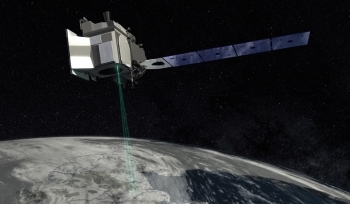
cThe ICESat-2 mission will measure the changing height of Earth’s glaciers, ice sheets and sea ice, one laser pulse at a time, 10,000 laser pulses per second. The satellite’s launch is planned for Sept. 15. (NASA photo)
This mission will focus on changes in the ice sheets and sea ice in Antarctica and the Arctic, where warming temperatures have led to “dramatic effects,” NASA officials said.
ICESat-1 also headed to space aboard a Delta II rocket launched in January 2003 from Vandenberg, kicking off a mission that ended seven years later.
While ICESat-2 undergoes its preparations, a short distance down the road ULA technicians have worked to erect the Delta II rocket at its launch pad.
In addition to signaling the start of the ICESat-2 mission, liftoff will mark the finale for Delta II rockets which first launched in 1995 from Vandenberg. A lack of satellites needing the capabilities of the rocket has led to an end of the workhorse space booster.
Quelle: Noozhawk
---
Update: 23.08.2018
.
NASA Launching Advanced Laser to Measure Earth’s Changing Ice
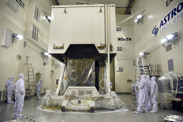
NASA’s Ice, Cloud and land Elevation Satellite-2 (ICESat-2) spacecraft arrives at the Astrotech Space Operations facility at Vandenberg Air Force Base in California ahead of its scheduled launch on Sept. 15, 2018.
Credits: U.S. Air Force/Vanessa Valentine
Next month, NASA will launch into space the most advanced laser instrument of its kind, beginning a mission to measure – in unprecedented detail – changes in the heights of Earth’s polar ice.
NASA’s Ice, Cloud and land Elevation Satellite-2 (ICESat-2) will measure the average annual elevation change of land ice covering Greenland and Antarctica to within the width of a pencil, capturing 60,000 measurements every second.
“The new observational technologies of ICESat-2 – a top recommendation of the scientific community in NASA’s first Earth science decadal survey – will advance our knowledge of how the ice sheets of Greenland and Antarctica contribute to sea level rise,” said Michael Freilich, director of the Earth Science Division in NASA’s Science Mission Directorate.
ICESat-2 will extend and improve upon NASA's 15-year record of monitoring the change in polar ice heights, which started in 2003 with the first ICESat mission and continued in 2009 with NASA’s Operation IceBridge, an airborne research campaign that kept track of the accelerating rate of change.
NASA’s Ice, Cloud and land Elevation Satellite-2 (ICESat-2) will measure height with a laser instrument that features components designed to provide precise data.
Credits: NASA/Adriana Manrique Gutierrez
A Technological Leap
ICESat-2 represents a major technological leap in our ability to measure changes in ice height. Its Advanced Topographic Laser Altimeter System (ATLAS) measures height by timing how long it takes individual light photons to travel from the spacecraft to Earth and back.
“ATLAS required us to develop new technologies to get the measurements needed by scientists to advance the research,” said Doug McLennan, ICESat-2 project manager at NASA’s Goddard Space Flight Center. “That meant we had to engineer a satellite instrument that not only will collect incredibly precise data, but also will collect more than 250 times as many height measurements as its predecessor.”
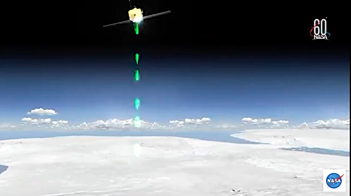
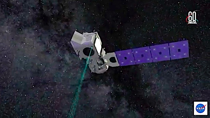
ATLAS will fire 10,000 times each second, sending hundreds of trillions of photons to the ground in six beams of green light. The roundtrip of individual laser photons from ICESat-2 to Earth’s surface and back is timed to the billionth of a second to precisely measure elevation.
With so many photons returning from multiple beams, ICESat-2 will get a much more detailed view of the ice surface than its predecessor, ICESat. In fact, if the two satellites were flown over a football field, ICESat would take only two measurements – one in each end zone – whereas ICESat-2 would collect 130 measurements between each end zone.
As it circles Earth from pole to pole, ICESat-2 will measure ice heights along the same path in the polar regions four times a year, providing seasonal and annual monitoring of ice elevation changes.
NASA’s Ice, Cloud and land Elevation Satellite-2 (ICESat-2) will provide scientists with height measurements that create a global portrait of Earth's third dimension, gathering data that can precisely track changes of terrain including glaciers, sea ice, and forests.
Credits: NASA/Ryan Fitzgibbons
Tracking Ice Melt
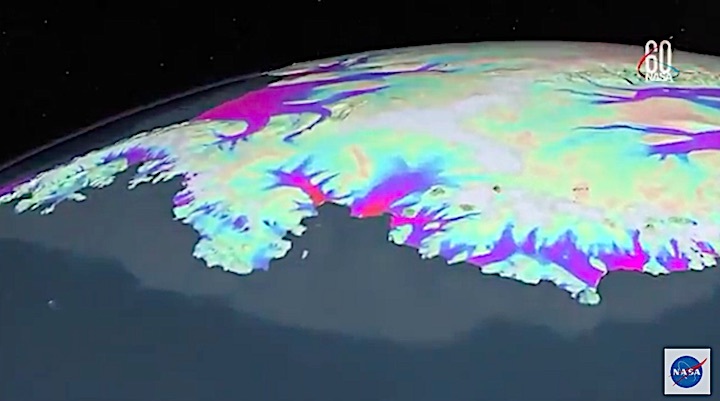
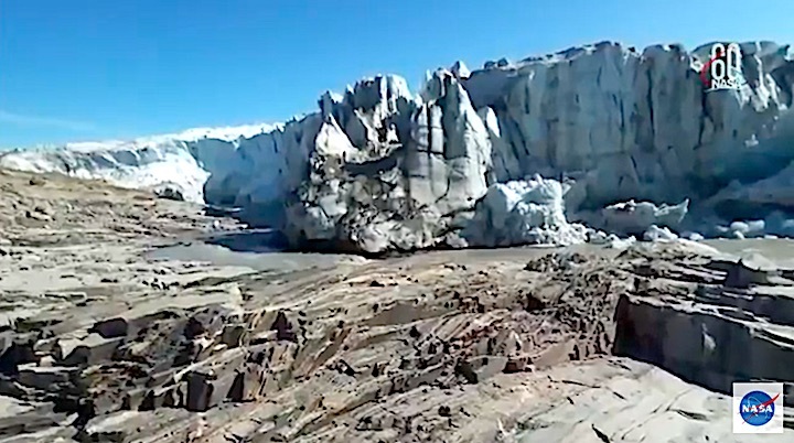
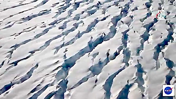
Hundreds of billions of tons of land ice melt or flow into the oceans annually, contributing to sea level rise worldwide. In recent years, contributions of melt from the ice sheets of Greenland and Antarctica alone have raised global sea level by more than a millimeter a year, accounting for approximately one-third of observed sea level rise, and the rate is increasing.
ICESat-2 data documenting the ongoing height change of ice sheets will help researchers narrow the range of uncertainty in forecasts of future sea level rise and connect those changes to climate drivers.
ICESat-2 also will make the most precise polar-wide measurements to date of sea ice freeboard, which is the height of sea ice above the adjacent sea surface. This measurement is used to determine the thickness and volume of sea ice. Satellites routinely measure the area covered by sea ice and have observed an Arctic sea ice area decline of about 40 percent since 1980, but precise, region-wide sea ice thickness measurements will improve our understanding of the drivers of sea ice retreat and loss.
Although floating sea ice doesn’t change sea level when it melts, its loss has different consequences. The bright Arctic ice cap reflects the Sun’s heat back into space. When that ice melts away, the dark water below absorbs that heat. This alters wind and ocean circulation patterns, potentially affecting Earth’s global weather and climate.
Beyond the poles, ICESat-2 will measure the height of ocean and land surfaces, including forests. ATLAS is designed to measure both the tops of trees and the ground below, which – combined with existing datasets on forest extent – will help researchers estimate the amount of carbon stored in the world’s forests. Researchers also will investigate the height data collected on ocean waves, reservoir levels, and urban areas.
Potential data users have been working with ICESat-2 scientists to connect the mission science to societal needs. For example, ICESat-2 measurements of snow and river heights could help local governments plan for floods and droughts. Forest height maps, showing tree density and structure, could improve computer models that firefighters use to forecast wildfire behavior. Sea ice thickness measurements could be integrated into forecasts the U.S. Navy issues for navigation and sea ice conditions.
“Because ICESat-2 will provide measurements of unprecedented precision with global coverage, it will yield not only new insight into the polar regions, but also unanticipated findings across the globe,” said Thorsten Markus, an ICESat-2 project scientist at Goddard. “The capacity and opportunity for true exploration is immense.”
Quelle: NASA
---
Update: 5.09.2018
.
NASA Television to Air Launch of Global Ice-Measuring Satellite
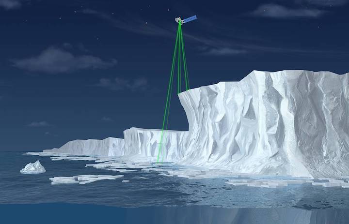
Illustration of NASA’s Ice, Cloud and land Elevation Satellite-2 (ICESat-2), a mission to measure the changing height of Earth's ice.
Credits: NASA
NASA’s Ice, Cloud and land Elevation Satellite-2 (ICESat-2), a mission to measure the changing height of Earth's ice, is scheduled to launch Saturday, Sept. 15, with a 40-minute window opening at 8:46 a.m. EDT (5:46 a.m. PDT).
The spacecraft will lift off from Space Launch Complex 2 at Vandenberg Air Force Base in California on the final launch of a United Launch Alliance Delta II rocket. Coverage of prelaunch and launch activities begins Thursday, Sept. 13, on NASA Television and the agency’s website.
ICESat-2 will carry a single instrument, the Advanced Topographic Laser Altimeter System (ATLAS), which will send 10,000 laser pulses a second to Earth’s surface and measure the height of ice sheets, glaciers, sea ice and vegetation by calculating the time it takes the pulses to return to the spacecraft. The precise and complete coverage afforded by ICESat-2 will enable researchers to track changes in land and sea ice with unparalleled detail, which will inform our understanding of what drives these changes.
NASA will host a prelaunch briefing at 4 p.m. Sept. 13 with:
- Tom Wagner, ICESat-2 program scientist at NASA Headquarters
- Doug McLennan, ICESat-2 project manager at NASA’s Goddard Space Flight Center
- Donya Douglas-Bradshaw, ATLAS instrument project manager at Goddard
- Tom Neumann, ICESat-2 deputy project scientist at Goddard
- Lori Magruder, ICESat-2 science definition team lead at the University of Texas at Austin
- Helen Fricker, ICESat-2 science definition team member at the Scripps Institution of Oceanography
- Bill Barnhart, ICESat-2 program manager at Northrop Grumman
- Tim Dunn, launch director at NASA’s Kennedy Space Center
- Scott Messer, program manager for NASA Programs at United Launch Alliance
- 1st Lt. Daniel Smith, launch weather officer with the 30th Space Wing at Vandenberg
Media and the public may ask questions during the briefing using #askNASA.
Launch coverage begins at 8:10 a.m. Sept. 15 with a weather update and live interviews leading up to the launch window opening at 8:46 a.m.
Quelle: NASA
---
Update: 14.09.2018
.
NASA's Ice-Monitoring Space Laser Ready for Saturday Launch
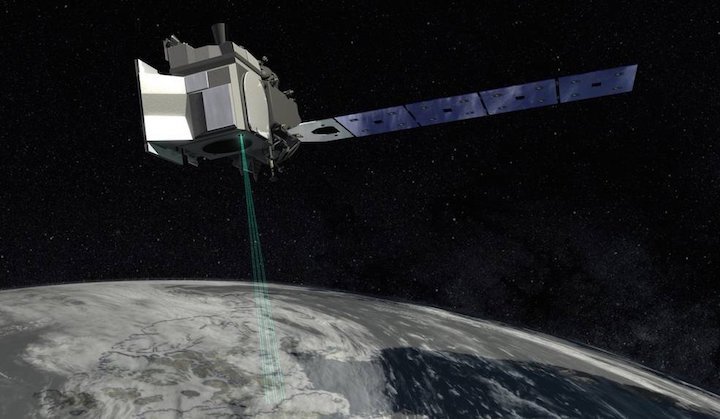
A laser-firing, ice-monitoring NASA spacecraft has been cleared for liftoff.
The space agency's Ice, Cloud and Land Elevation Satellite-2 (ICESat-2), which will measure ice sheets and sea ice around the world in unprecedented detail, passed a key launch readiness review this morning (Sept. 13), mission team members announced.
So, IceSat-2 remains on track to launch to Earth orbit Saturday morning (Sept. 15) atop a United Launch Alliance (ULA) Delta II rocket from Vandenberg Air Force Base in California. The roughly 2.5-hour launch window opens at 8:46 a.m. EDT (1246 GMT; 5:46 a.m. local California time). You can watch the liftoff here at Space.com when the time comes, courtesy of NASA. [Images of Melt: Earth's Vanishing Ice]
ICESat-2 carries a single instrument called the Advanced Topographic Laser Altimeter System (ATLAS), which has one laser that's split into six green beams. ATLAS will fire 10,000 pulses every second, then measure how long it takes for this light to return after bouncing off ice, treetops and other landscape features. (Only a very tiny fraction of ATLAS photons will bounce straight back to the instrument, of course.)
As it zooms over Earth, ATLAS will take such measurements every 28 inches (71 centimeters) along the surface below, gathering huge amounts of incredibly precise data. Indeed, these observations will allow mission scientists to track annual height changes in the Greenland and Antarctic ice sheets to within 4 millimeters (0.16 inches), NASA officials said.
ICESat-2 will therefore help researchers monitor how a warming climate is affecting the planet's coldest places. And the mission's measurements over forested country will be of interest to a range of people as well, from terrestrial ecologists to climatologists, team members said.
"From the vantage point of space, we'll get a global tree-height measurement," Lori Magruder of The University of Texas at Austin, leader of the ICESat-2 science-definition team, said during a news conference today.
"That allows us to create a global biomass estimate," she added. "Biomass is important, because that informs our knowledge of the carbon cycle and how it contributes to our environment and the climate."
ICESat-2 follows in the footsteps of the original ICESat, which studied the planet from 2003 to 2009. But the new spacecraft, which is designed to operate for at least three years, will have much sharper eyes than its predecessor. ICESat's single-beam laser instrument, called the Geoscience Laser Altimeter System (GLAS), fired just 40 pulses per second and took measurements every 560 feet (170 meters) of ground track.
"As a comparison, if the two instruments took measurements over a football field, GLAS would have collected data points outside the two end zones, but ICESat-2's ATLAS would take measurements between each yard line," NASA officials wrote in an ICESat-2 mission description.
Saturday's launch — which will also loft four small space-weather cubesats — will be the last for the venerable Delta II. The rocket debuted in February 1989 and has 154 missions under its belt to date, the last 99 of which have been successful.
The 128-foot-tall (39 m) Delta II has launched many important payloads over the years, including NASA's Kepler and Spitzer space telescopes, Spirit and Opportunity Mars rovers, Phoenix Mars lander, and Dawn probe, which is currently orbiting the dwarf planet Ceres.
"The Delta II vehicle has touched the life of probably every single person in America in the technology that it has enabled over its 30 years," Scott Messer, program manager for NASA programs at ULA, said during today's news conference. "It's been a very, very prominent part of space history and a very important part of probably everyone's life in America."
Quelle: SC
+++
In California, storied Delta II rocket set for final launch with NASA satellite
After a first launch on Valentine’s Day nearly 30 years ago, the Delta II rocket went on to become a beloved workhorse launcher of military, science and commercial missions.
On Saturday morning in California, a 132-foot Delta II is scheduled to blast off for the 155th and final time, carrying a $1 billion NASA climate science mission.
It’s the end of the line for the turquoise-and-white booster that launched dozens of GPS satellites that helped transform military operations and everyday life, and more than a handful of spacecraft to Mars, among its many highlights.
“I’m a little bit melancholy about this,” Tim Dunn, the mission’s NASA launch director, said Thursday. “Delta II holds a really special place in so many folks' in launch industry’s hearts.”
Liftoff from Space Launch Complex-2 at Vandenberg is targeted for 8:46 a.m. EDT Saturday, the opening of a 40-minute window. The forecast shows no weather concerns.
The final Delta II mission comes two months after the 45th Space Wing demolished twin pads at Launch Complex 17, the rocket’s former home at Cape Canaveral Air Force Station.
A Delta II last flew from the Cape almost seven years to the day, launching NASA’s GRAIL mission to map the moon’s gravity fields.
In all, Launch Complex 17 hosted 110 Delta II missions, including 48 GPS launches.
Other notable missions for NASA included the Spirit and Opportunity Mars rovers; the Mars Global Surveyor and Mars Odyssey orbiters; Mars Pathfinder lander; Spitzer Space Telescope; the Mercury-orbiting Messenger probe; asteroid explorers NEAR and Dawn; and the comet-smashing Deep Impact.
The rocket also has deployed weather and Earth science spacecraft like the Ice, Cloud and land Elevation Satellite-2 mission, or ICESat-2, launching Saturday.
“The Delta II vehicle has touched the lives of probably every single person in America in the technology that it has enabled over its 30 years,” said Scott Messer, United Launch Alliance’s manager for NASA programs.
A successful final launch would be the 100th in a row by a Delta II, a highly reliable rocket that is also remembered for one of the most spectacular failures in the modern era.
On Jan. 17, 1997, a Delta II carrying a GPS satellite exploded 13 seconds into its flight from the Cape, raining debris over the launch team's blockhouse and destroying some cars parked nearby.
The Delta II was born out of tragedy. After NASA’s space shuttle Challenger accident in 1986 that killed seven astronauts, the military was forced to find a different way to get GPS satellites into space.
McDonnell Douglas won a contract to develop the Delta II and begin launching GPS satellites that otherwise would have launched on the shuttle.
The company was later bought by Boeing, which in 2006 merged its Delta fleet with Lockheed Martin’s Atlas rockets through the United Launch Alliance joint venture.
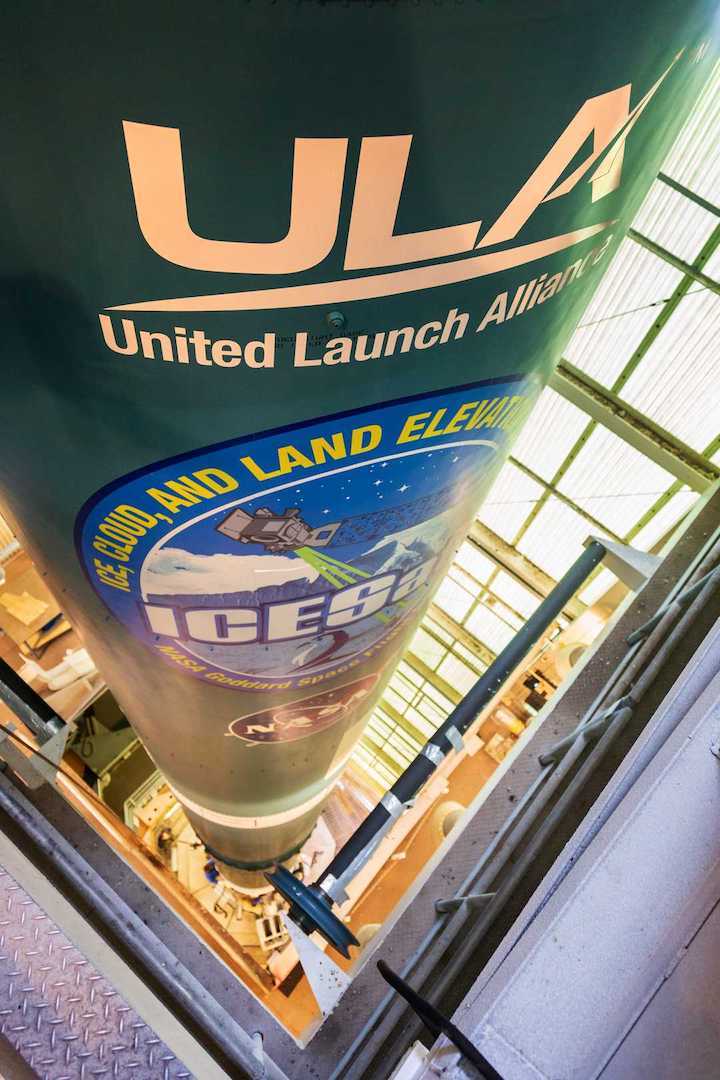
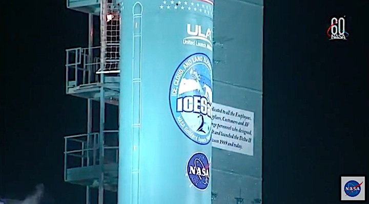
For the final launch, ULA resumed a tradition of putting stars on the rocket that once counted the number of successful launches. This time, some 200 stars carry the signatures of about 800 retirees, customers and others who worked on the program over the years.
“It’s been a very, very prominent part of space history and a very important part of probably everyone’s life in America,” said Messer.
Quelle: Florida Today
---
Update: 15.09.2018 / 7.20 MESZ
.
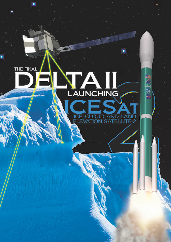
DELTA II TO LAUNCH ICESAT-2
• Rocket: Delta II
• Mission: ICESat-2
• Launch Date: Saturday, Sept. 15, 2018
• Launch Time: Launch is planned for 5:46 a.m. PDT
• Launch Broadcast: Tune in live beginning at 5:10 a.m. PDT
• Launch Location: Space Launch Complex-2, Vandenberg Air Force Base, California
Mission Information: United Launch Alliance will use the final Delta II rocket to launch the Ice, Cloud and land Elevation Satellite-2 (ICESat-2) for NASA to measure the thickness of Earth’s polar ice sheets. The satellite’s primary instrument will pulse its laser at Earth 10,000 times a second and precisely measure the time it takes the beams to bounce off the ground and return to ICESat-2 to deduce the elevation below within the accuracy of 4 millimeters.
The satellite advances the capabilities of its predecessor, ICESat-1, launched by a Delta II rocket and operated from 2003 to 2009.
Launch Notes: This will be the final flight of the venerable Delta II rocket, which has been in use since 1989.

Go Delta! Go ICESat-2!
Quelle: ULA
+++
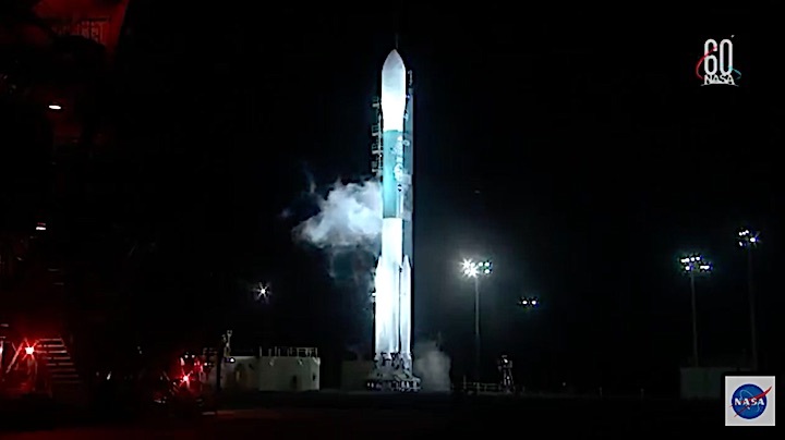
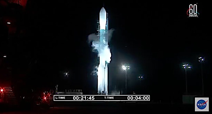
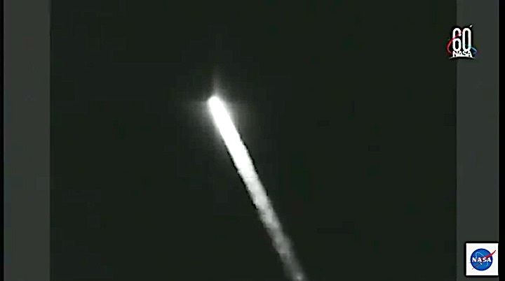
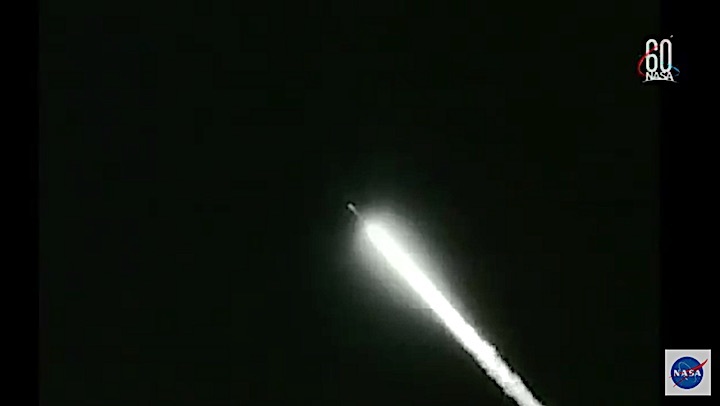
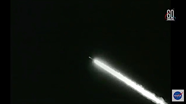
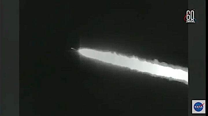
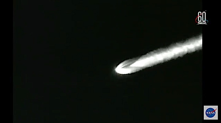
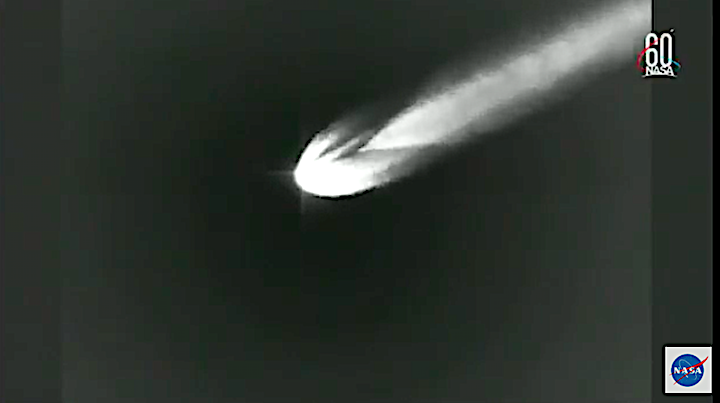
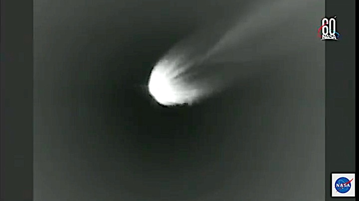
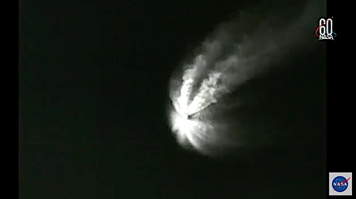
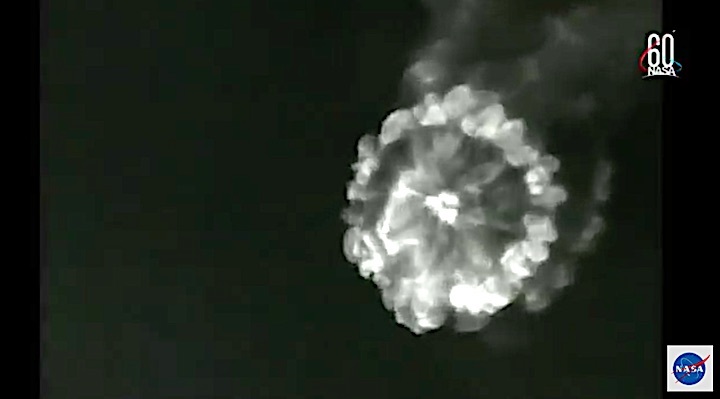
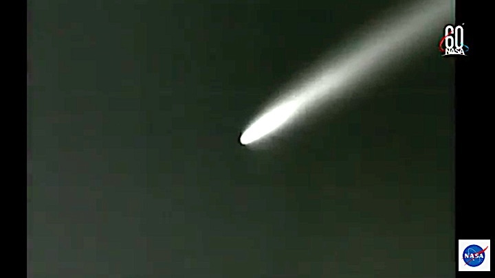
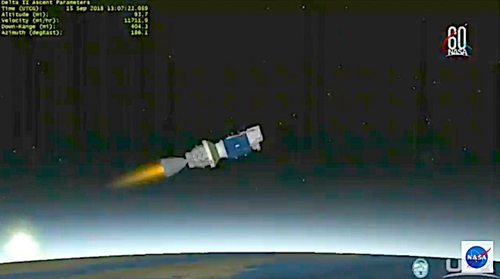
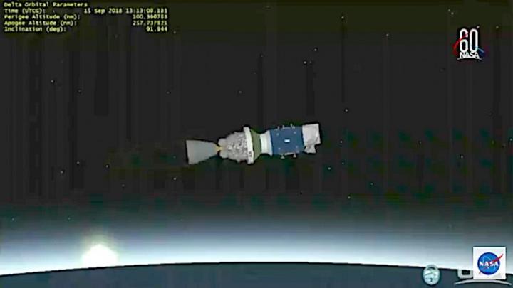
Launch-Video-Frams:
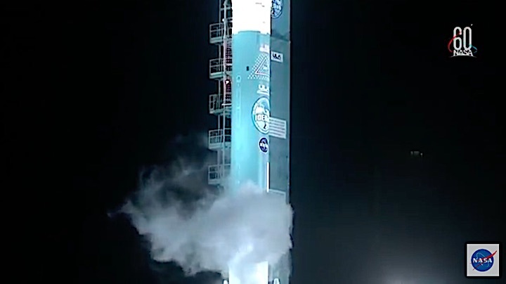
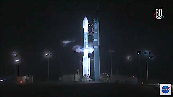
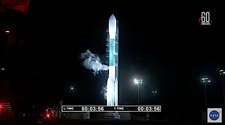
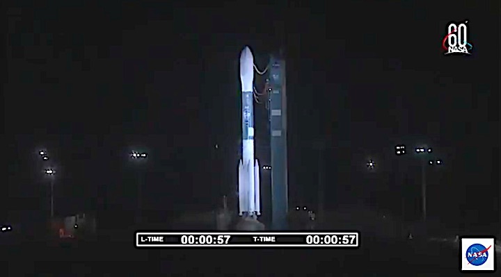
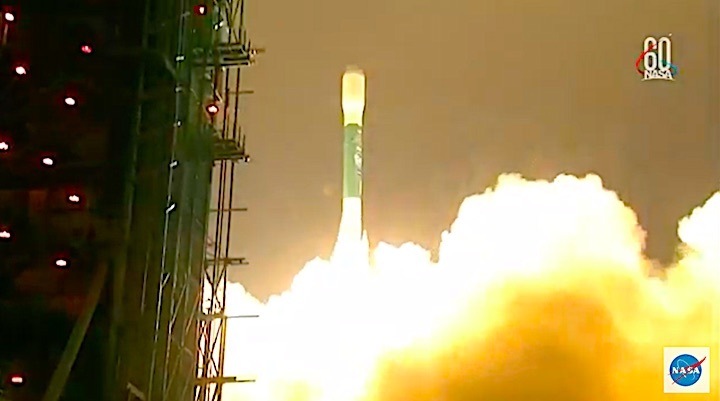
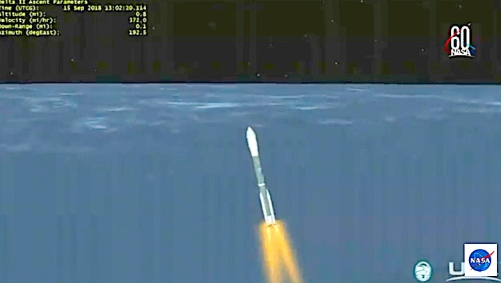


Quelle: ULA, NASA
