3.05.2014
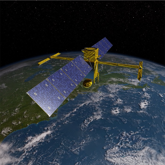
SWOT
.
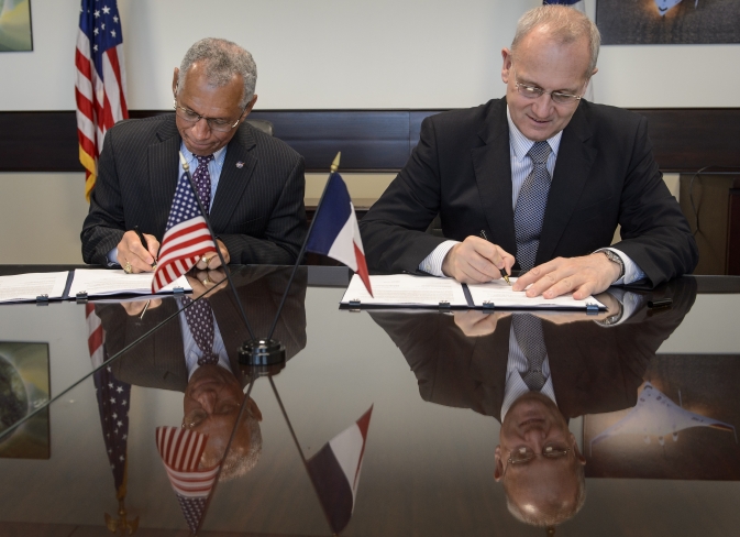
NASA Administrator Charles Bolden, left, and Centre National d'Études Spatiales (CNES) President Jean-Yves Le Gall sign an agreement to move from feasibility studies to implementation of the Surface Water and Ocean Topography (SWOT) mission, Friday, May 2, 2014 at NASA Headquarters in Washington.
.
NASA-CNES Move Forward with Global Water and Ocean Surface Mission
.
NASA and the French space agency Centre National d'Études Spatiales (CNES) have agreed to jointly build, launch, and operate a spacecraft to conduct the first-ever global survey of Earth's surface water and to map ocean surface height with unprecedented detail.
NASA Administrator Charles Bolden and CNES President Jean-Yves Le Gall signed an agreement Friday at NASA Headquarters in Washington to move from feasibility studies to implementation of the Surface Water and Ocean Topography (SWOT) mission. The two agencies began initial joint studies on the mission in 2009 and plan to complete preliminary design activities in 2016, with launch planned in 2020.
"With this mission, NASA builds on a legacy of Earth science research and our strong relationship with CNES to develop new ways to observe and understand our changing climate and water resources," said NASA Administrator Charles Bolden. "The knowledge we'll gain from SWOT will help decision makers better analyze, anticipate, and act to influence events that will affect us and future generations."
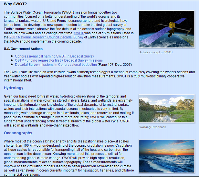
SWOT is one of the NASA missions recommended in the National Research Council's 2007 decadal survey of Earth science priorities. The satellite will survey 90 percent of the globe, studying Earth's lakes, rivers, reservoirs and ocean to aid in freshwater management around the world and improve ocean circulation models and weather and climate predictions.
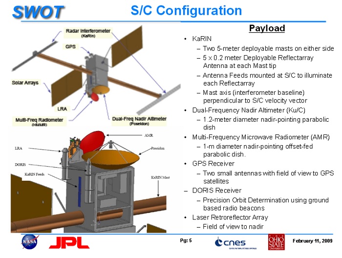
This new agreement covers the entire life cycle of the mission, from spacecraft design and construction through launch, science operations, and eventual decommissioning. NASA will provide the SWOT payload module, the Ka-band Radar Interferometer (KaRIn) instrument, the Microwave Radiometer (MR) with its antenna, a laser retroreflector array, a GPS receiver payload, ground support, and launch services.
CNES will provide the SWOT spacecraft bus, the KaRIn instrument’s Radio Frequency Unit (RFU), the dual frequency Ku/C-band Nadir Altimeter, the Doppler Orbitography and Radiopositioning Integrated by Satellite (DORIS) receiver package, satellite command and control, and data processing infrastructure.
NASA and CNES began collaborating on missions to monitor ocean surface changes in the 1980s. From the TOPEX/Poseidon mission launched in 1992 to the Jason-1 mission launched in 2001 to the Jason-2/Ocean Surface Topography Mission launched in 2008, the collaboration has produced critical information on sea-level rise as well as El Niño causing world-wide impact.
The SWOT mission will use wide swath altimetry technology to produce high-resolution elevation measurements of the ocean surface and the surface of lakes, reservoirs, and wetlands. A more complete inventory of Earth's lakes and the changing amount of water they hold will yield improved assessments of how climate-induced changes can impact freshwater resources worldwide. Only 15 percent of lakes around the world are currently measured from space. SWOT will inventory a majority of medium to large lakes as well as the discharge volumes of rivers.
SWOT will be able to measure the ocean's surface with 10 times the resolution of current technologies. This will allow scientists to study small-scale features that are key components of how heat and carbon are exchanged between the ocean and atmosphere. The higher resolution of SWOT observations also will enable researchers to compute the velocity and energy of ocean circulation. A better understanding of small-scale ocean currents and eddies is also important to impacts on coastal regions such as navigation, erosion and dispersing pollutants.
.
.
.
.
.
.
Quelle: NASA
----
Update: 6.10.2022
.
Testing, Testing: Space-Bound US-European Water Mission Passes Finals
A rigorous testing program is the best way to ensure that every part of the Surface Water and Ocean Topography mission, down to the ball bearings, will work smoothly in orbit.
Before any NASA mission is launched, the spacecraft goes through weeks of harsh treatment. It’s strapped to a big table that shakes as hard as the pounding of a rocket launch. It’s bombarded with louder noise than a stadium rock concert. It’s frozen, baked, and irradiated in a vacuum chamber that simulates the extremes of space. The Surface Water and Ocean Topography mission (SWOT), a collaborative U.S.-French mission to monitor all the water on Earth’s surface, has passed these major tests. Now, except for a few final checks, SWOT is ready for its December launch.
Some of SWOT’s engineers at NASA’s Jet Propulsion Laboratory in Southern California have invested almost a decade in designing, building, and assembling this complex mission. Watching the instruments they’ve labored over go through the latest round of tests has been stressful, but the team has taken the process in stride. That’s because every part of SWOT, down to nuts and bolts, had been tested multiple times before the satellite entered the thermal vacuum chamber for the last time. The engineers say the earlier tests produced far more anxiety.
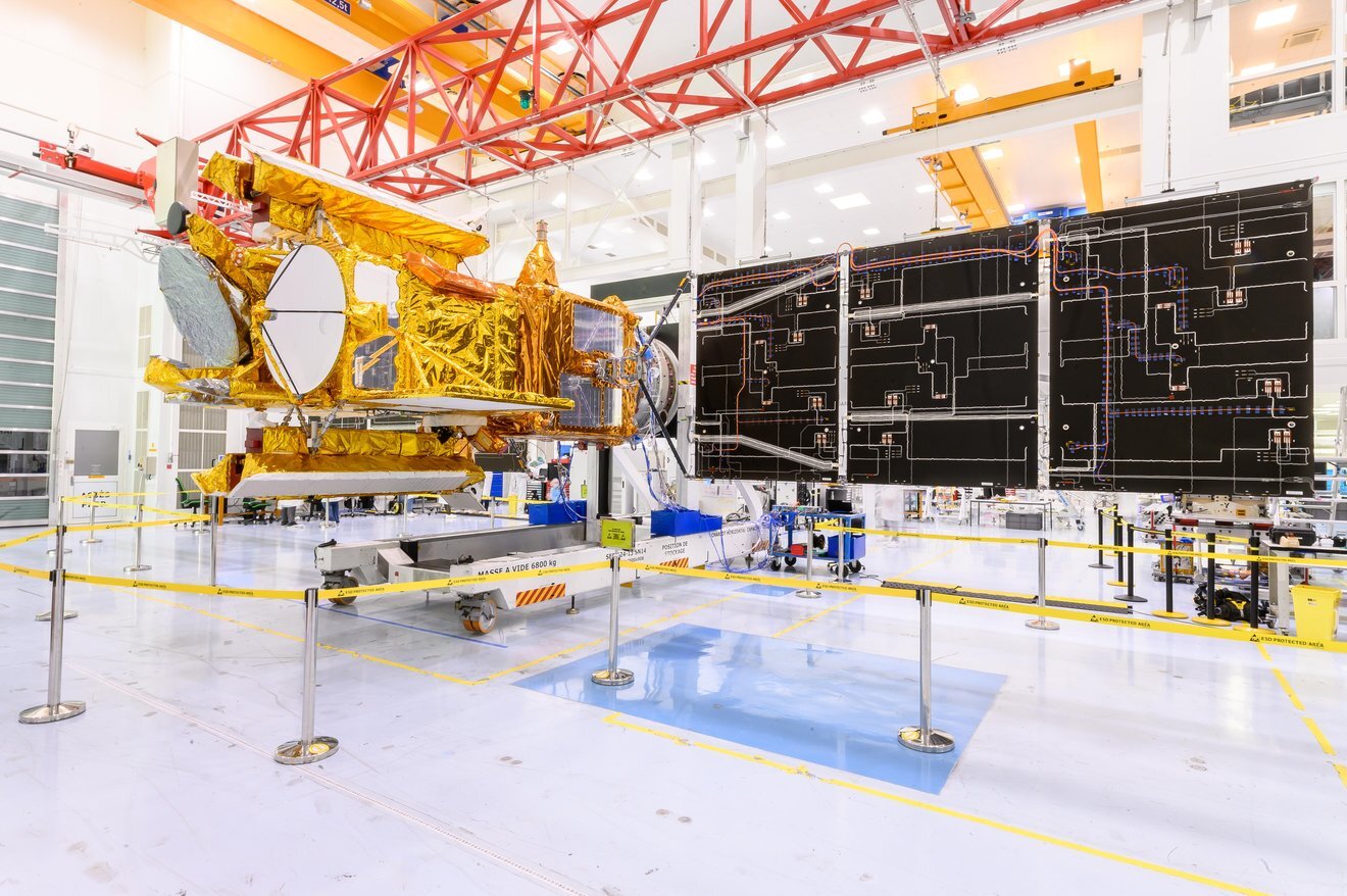
The solar panels on the Surface Water and Ocean Topography (SWOT) satellite unfold as part of a test in January 2022 at a Thales Alenia Space manufacturing facility near Cannes, France. The SWOT mission is being jointly led by NASA and the French space agency Centre National d'Études Spatiales (CNES), with contributions from the Canadian Space Agency and the United Kingdom Space Agency.
Many of SWOT's radar instruments were built at NASA's Jet Propulsion Laboratory in Southern California before being transported to France, where Thales Alenia is assembling the full satellite. Following a series of tests, SWOT will be transported to Vandenberg Space Force Base in Southern California for launch in November 2022. In orbit, SWOT will collect information of unprecedented detail on sea-level height, which will help scientists study the role of ocean currents in moderating climate change, as well as the elevations of fresh water bodies, which will enable researchers for the first time to take inventory of the planet's rivers, lakes, reservoirs, and other surface water.
JPL, which is managed for NASA by Caltech in Pasadena, California, leads the U.S. component of the mission. For the flight system payload, NASA is providing the KaRIn instrument, a GPS science receiver, a laser retroreflector, a two-beam microwave radiometer, and NASA instrument operations. CNES is providing the Doppler Orbitography and Radioposition Integrated by Satellite (DORIS) system, nadir altimeter, the KaRIn RF subsystem (with support from the UK Space Agency), the platform, and ground control segment. CSA is providing the KaRIn high-power transmitter assembly. NASA is providing the launch vehicle and associated launch services.
---
Phoebe Rhodes-Wickett, a mechatronics engineer at JPL, has spent a quarter of her life working on SWOT. She initially focused on a small component used to deploy the antennas on the spacecraft’s main instrument. “The first time I tested my mechanism, I was terrified,” she said. About as big as a box of tissues, the component was tested on a full-size shaker table. “It was just this little mechanism sitting by itself. The test is loud, and you can see the mechanism moving,” added Rhodes-Wickett. “We had a failure in our first round of testing. We had to redesign and retest the mechanism in a few months’ time to get it certified as spaceworthy.”
After passing that retest, the mechanism was connected to larger and larger systems that were finally integrated into the complete SWOT spacecraft. Every phase of spacecraft assembly creates new connections and presents another avenue for human error to creep in, so it ends with another round of tests. Rhodes-Wickett’s mechanism passed vibration testing three more times since that first experience. “Each test you pass is a relief,” she said, “but by the time you get to the third or fourth test, your stress level is much lower.”
SWOT will collect information on sea level height, which will help scientists study the role of currents in moderating climate change, as well as the elevations of bodies of fresh water. The mission is jointly led by NASA and CNES with contributions from the U.K. and Canadian space agencies.
The mechanism is part of SWOT’s new radar instrument, which is the first of its kind in space. The Ka-band Radar Interferometer, or KaRIn, has two radar antennas mounted on mechanical arms. Once SWOT is in orbit, the arms will unfold from opposite sides of the spacecraft and extend until the antennas are almost 33 feet (10 meters) apart. Just as the space between your eyes helps you to judge distance and depth better, the space between KaRIn’s two antennas helps the instrument reveal more details about Earth’s water. But if the process isn’t almost perfect – if the mechanical arms don’t extend fully or the antennas are misaligned by even a few thousandths of a degree – KaRIn can’t make the hoped-for measurements.
Risky Business
“It’s a unique part of a career at NASA that we’re always trying to build stuff that’s never been built before,” said JPL’s Eric Slimko, chief mechanical engineer on SWOT. That means every NASA payload starts with an unknown risk factor. Most missions gain some sense of the risk level by deploying prototype instruments on aircraft and in labs, but there’s still the (literally) sky-high additional challenge of adapting the technology to survive launch and work in space. “We don’t have the capability of eliminating all that risk by an analysis on a piece of paper,” he said. “We have to test it.” Even off-the-shelf parts are certified.
Designing tests that could prove the folding arm and antenna assembly will perform as well in orbit as they do on Earth was “very, very challenging,” Slimko said. “For one thing, we can’t turn off gravity. But we developed a verification program that, even though we cannot re-create the exact flight environment on the ground, we still have complete confidence that it will work in space.”
Carrying out the program required dozens of JPL engineers to spend weeks or months at the Thales Alenia Space facility in Toulouse, France, working with colleagues from the French space agency Centre Nationale d’Études Spatiales (CNES) to complete the series of tests as the spacecraft was assembled. The spacecraft includes hardware from not only CNES and NASA but also the United Kingdom and Canadian space agencies, with each team monitoring the performance of its own parts during testing.
Now almost all that remains is the ultimate test: the launch itself. The engineers are more than ready. “It’s fun to have a baby that you literally dreamed up, helped to grow, and now you’re walking it to the finish line,” Rhodes-Wickett said. “It’s really exciting to see something that you’ve poured so much time and effort into go on and make a difference in the world.”
More About the Mission
SWOT is being jointly developed by NASA and CNES, with contributions from the Canadian Space Agency and the United Kingdom Space Agency. JPL, which is managed for NASA by Caltech in Pasadena, California, leads the U.S. component of the project. For the flight system payload, NASA is providing the KaRIn instrument, a GPS science receiver, a laser retroreflector, a two-beam microwave radiometer, and NASA instrument operations. CNES is providing the Doppler Orbitography and Radioposition Integrated by Satellite (DORIS) system, the dual frequency Poseidon altimeter (developed by Thales Alenia Space), the KaRIn radio-frequency subsystem (together with Thales Alenia Space and with support from the UK Space Agency), the platform, and ground control segment. CSA is providing the KaRIn high-power transmitter assembly. NASA is providing the launch vehicle and associated launch services.
Quelle: NASA
----
Update: 15.10.2022
.
NASA Invites Media to Launch of Water-Monitoring Satellite
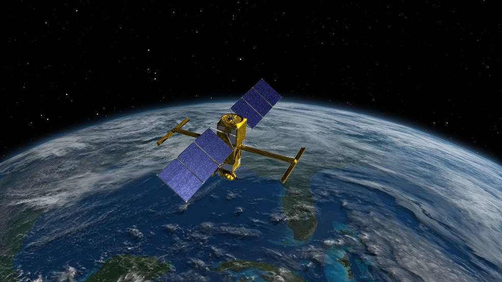
Media accreditation is now open for the upcoming launch of the Surface Water and Ocean Topography (SWOT) satellite, a pathfinder mission about Earth’s water that will use new technology to address climate change and its impact on our environment.
NASA and SpaceX are targeting no earlier than Monday, Dec. 5, for launch of the Earth-facing satellite on a SpaceX Falcon 9 rocket from Space Launch Complex-4 East at Vandenberg Space Force Base in California.
U.S. and international media interested in attending this launch must apply no later than 5 p.m. EDT on Thursday, Oct. 27. Media accreditation requests should be submitted at:
A copy of NASA’s media accreditation policy is available online. For questions about accreditation, please email: ksc-media-accreditat@mail.nasa.gov. For other mission questions, please contact Kennedy’s newsroom: 321-867-2468.
Para obtener información sobre cobertura en español en el Centro Espacial Kennedy o si desea solicitar entrevistas en español, comuníquese con Antonia Jaramillo at: antonia.jaramillobotero@nasa.gov or 321-501-8425.
SWOT is an international satellite mission led by NASA and the French space agency Centre National d’Études Spatiales (CNES) that will survey water on Earth’s surface, observe the fine details of ocean surface topography, and measure how water bodies change over time. The Canadian Space Agency and the UK Space Agency also have contributed to developing SWOT. NASA’s Launch Services Program at Kennedy is managing the launch.
Quelle: NASA
----
Update: 23.10.2022
.
Satellite to Study Earth’s Water Arrives at Launch Site
The international SWOT mission will view Earth’s ocean and surface water on land with unprecedented clarity.
The Surface Water and Ocean Topography (SWOT) satellite arrived at Vandenberg Space Force Base in California, where teams will begin final preparations for the spacecraft’s launch in December on a SpaceX Falcon 9 rocket from Space Launch Center-4 East.
SWOT is the first satellite mission that will observe nearly all water on Earth’s surface, measuring the height of water in the planet’s lakes, rivers, reservoirs, and the ocean. SWOT’s instruments will be able to resolve ocean features like currents and eddies less than 60 miles (100 kilometers) across, lakes and reservoirs larger than 15 acres (6 hectares), and rivers wider than 330 feet (100 meters) across.
NASA’s Jet Propulsion Laboratory in Southern California built the scientific payload. In June 2021, JPL shipped the payload to France, where a multinational team integrated the Ka-band Radar Interferometer (KaRIn) and other finely tuned instruments with the satellite bus.
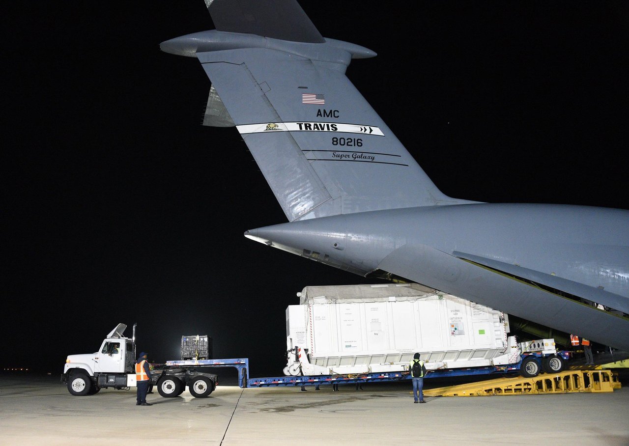
On Oct. 16, SWOT arrived at Vandenburg from France aboard a U.S. Air Force C-5 Galaxy aircraft and moved to the Astrotech Space Operations facility to begin launch processing. In the coming weeks, SWOT will undergo many steps in preparation for liftoff. Teams must encapsulate the satellite in a protective payload fairing, mate it to the rocket, and transport it to the launch pad before it’s ready to rocket into space.
Once in orbit, SWOT will collect data from the ocean, helping researchers better understand how seawater absorbs atmospheric heat and carbon, a process that affects global temperatures and climate change. This data will also help researchers better understand coastal sea levels and, ultimately, how sea surface height will interact with a changing climate to affect things like storm surges.
SWOT will also provide the first comprehensive global survey of freshwater lakes, rivers, and reservoirs from space. The satellite will measure the height of the water in these water bodies, as well as their surface area, or extent. By helping track changes in water volume over time, the data will better equip scientists and water resource managers to monitor how much water flows into and out of Earth’s freshwater bodies.
SWOT is a collaboration between NASA and the French space agency Centre National d’Études Spatial (CNES), with contributions from the Canadian Space Agency (CSA) and the UK Space Agency. NASA’s Launch Services Program, based at the agency’s Kennedy Space Center in Florida, is managing the launch service.
NASA Sets Coverage for SWOT Water Survey Mission Launch
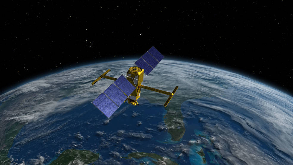
NASA will provide coverage of the upcoming prelaunch and launch activities for the international Surface Water and Ocean Topography (SWOT) mission.
The mission is targeted for liftoff at 6:46 a.m. EST (3:46 a.m. PST) Thursday, Dec. 15, on a SpaceX Falcon 9 rocket from Space Launch Complex 4-East at Vandenberg Space Force Base in California.
Live launch coverage will begin at 6 a.m. EST (3 a.m. PST) on NASA Television, YouTube, Twitter, the NASA app, and the agency’s website, with prelaunch and science briefings beginning Tuesday, Dec. 13.
Watch coverage on the agency’s website at:
SWOT will survey nearly all water on Earth’s surface for the first time, measuring the height of the world’s oceans, rivers, and lakes, helping scientists track how fresh and saltwater bodies change over time. The satellite will help scientists investigate how the oceans absorb atmospheric heat and carbon, moderating global temperatures and climate change.
Using SWOT’s state-of the-art technology, scientists will observe ocean features with 10 times the resolution of current technologies along with providing high-definition views of freshwater bodies. It can observe the entire length of nearly all rivers wider than 330 feet (100 meters), as well as collect data on more than a million lakes larger than 15 acres (62,500 square meters).
A global inventory of water resources will help scientists better understand where the water is, where it’s coming from, and where it’s going. The observations will benefit people on Earth by helping improve flood forecasts, improving the models used to monitor droughts and improving predictions for sea level rise. The observations also will benefit industries, like shipping, by providing measurements of water levels along rivers, as well as information about tides, currents, and storm surges in the ocean.
The mission is a collaborative effort by NASA and the French space agency Centre National d’Etudes Spatiales (CNES) with contributions from the Canadian Space Agency (CSA) and the UK Space Agency.
Full mission coverage is as follows:
Tuesday, Dec. 13
3 p.m. EST (12 p.m. PST) – SWOT Science Briefing on NASA TV and YouTube with the following participants:
- Katherine Calvin, chief scientist and senior climate advisor, NASA
- Nadya Vinogradova Shiffer, SWOT program scientist, NASA
- Tamlin Pavelsky, SWOT hydrology science lead, University of North Carolina
- Benjamin Hamlington, research scientist, Sea Level and Ice Group, NASA’s Jet Propulsion Laboratory
- Selma Cherchali, Earth observation program head, CNES
Accredited news media planning to attend the briefing should confirm their participation with Tech Sgt. Patrick Harrower, 30th Space Wing public affairs officer, at patrick.harrower@us.af.mil no later than 9 a.m. PST Dec. 13.
Media may request the dial-in number and passcode by contacting the newsroom at NASA’s Kennedy Space Center in Florida no later than 10 a.m. PST at ksc-newsroom@mail.nasa.gov. Media and the public also may ask questions during the event using #AskNASA.
Wednesday, Dec. 14
1 p.m. EST (10 a.m. PST) – SWOT Prelaunch News Conference on NASA TV and YouTube with the following participants:
- Karen St. Germain, Earth Science Division director, NASA
- Thierry Lafon, SWOT project manager, CNES
- Tim Dunn, launch director, NASA’s Launch Services Program
- Julianna Scheiman, civil satellite missions director, SpaceX
- Parag Vaze, SWOT project manager, NASA’s Jet Propulsion Laboratory
- Capt. Zack Zounes, launch weather officer, U.S. Space Force
Accredited news media planning to attend the briefing should confirm their participation with Tech Sgt. Patrick Harrower, 30th Space Wing public affairs officer, at patrick.harrower@us.af.mil no later than 9 a.m. PST Dec. 14.
Media may request the dial-in number and passcode by contacting the Kennedy newsroom no later than 10 a.m. PST at ksc-newsroom@mail.nasa.gov. Media and the public also may ask questions during the event using #AskNASA.
2 p.m. EST (11 a.m. PST) – NASA Edge will host the SWOT Rollout Show that will air live on NASA TV and YouTube.
NASA TV Launch Coverage
NASA TV live coverage will begin at 6 a.m. EST (3 a.m. PST) Thursday, Dec. 15. For NASA TV downlink information, schedules, and links to streaming video, visit:
Audio only of the news conferences and launch coverage will be carried on the NASA “V” circuits, which may be accessed by dialing 321-867-1220, -1240, or 7135. On launch day, "mission audio," countdown activities without NASA TV launch commentary, will be carried on 321-867-7135. A “tech feed” of the launch without NASA TV commentary will be carried on the NASA TV media channel.
Follow countdown coverage on the SWOT launch blog at:
Public Participation
Members of the public can register to attend the SWOT launch virtually. The virtual guest program for this mission includes curated launch resources, notifications about related opportunities or changes, and a stamp for the virtual guest passport following a successful launch.
Quelle: NASA
+++
NASA mission will study how hidden ocean swirls soak up heat of global warming
SWOT satellite will measure global water cycle and carbon-absorbing eddies in unprecedented detail

A 2019 image of the Baltic Sea captured blooms of green algae caught up in whirling eddies.EUROPEAN SPACE AGENCY
Eddies have been overlooked for too long. These turbulent swirls of water, ranging in size from a few kilometers to hundreds of kilometers across, peel off large ocean currents and mix heat and carbon dioxide into deeper ocean layers, like cream stirred into coffee. They are the most energetic feature of the ocean, critical to getting climate models right—but also largely invisible to satellites, except when they happen to sweep up a massive bloom of green phytoplankton.
No longer. Eddies and, on land, the ebb and flow of rivers and lakes will snap into focus after the launch of the Surface Water and Ocean Topography (SWOT) satellite, a joint venture between NASA and CNES, the French space agency. Expected to launch no earlier than 15 December from Vandenberg Space Force Base in California, on a SpaceX Falcon 9 rocket, the $1.2 billion satellite carries an altimeter that can measure the height of a water surface to within a couple centimeters, allowing researchers to infer the movements that sculpt it. “The change we expect from SWOT will be quite dramatic,” says J. Thomas Farrar, a physical oceanographer at the Woods Hole Oceanographic Institution (WHOI).
For oceanographers it will be like slipping on a pair of eyeglasses, says Rosemary Morrow, a physical oceanographer at the Laboratory of Space, Geophysical, and Oceanographic Studies in Toulouse, France. The satellite will capture eddies as small as
7 kilometers across and cover nearly the entire globe every 21 days. On land, SWOT will be able to map the changing height of more than 6 million lakes, from the Great Lakes down to ponds, while also capturing flows in rivers wider than 100 meters. It will replace spotty, infrequent measurements from the ground and make the field of hydrology far more empirical, and global, than it ever has been. “It’s going to help us constrain how the water cycle works in the Arctic, Africa—places where we don’t have on the ground data,” says Tamlin Pavelsky, a hydrologist at the University of North Carolina, Chapel Hill, and co-lead of SWOT’s freshwater science team.
For nearly 4 decades, NASA and CNES have launched a series of radar altimeter satellites, which use reflected pulses of radar to measure water height. Those instruments have monitored the accelerating rise of global sea levels, a basic indicator of climate change. By measuring the ocean’s bulges and dimples, they also track the large-scale currents that sweep water around the planet. But the satellites’ coarse spatial resolution meant rivers and small eddies were out of reach.
SWOT gains a sharper view with the help of two 5-meter booms, each bearing an antenna to catch reflections of the radar signal SWOT pulses to Earth’s surface. The widely separated antennas give SWOT the resolution to measure the height of a patch of water just kilometers wide, rather than hundreds of kilometers, bringing small eddies into view.
Armed with the precise observations, hydrologists will be able to say how lakes and rivers change seasonally, and how short-term climatic drivers, such as El Niño, affect those rhythms. For marine ecologists, SWOT will be able to chart how the levels of the world’s major rivers drop each time a dam or weir interrupts them, and how severely that fragments aquatic habitats. It will also see the ripples that betray a river’s shallows and deep pools, a boon to studies of how rivers evolve. And SWOT will capture flood waters as they move down river, which should help flood modelers, although the measurements won’t be fast enough to help communities prepare.
Although SWOT is supposed to operate for just 3 years, its science team plans to look for correlations between the water flows it detects and features the ongoing Landsat missions see in visible light, such as changing lake and river widths. Those visible changes could serve as proxies for water levels, allowing researchers to continue to keep tabs on the planet’s flows, Pavelsky says. “Even once SWOT is gone, you can still continue that analysis.”
SWOT’s view of eddies may be its biggest payoff. For example, it will test predictions that thousands of small eddies stir the ocean at any one time, says Sylvia Cole, a physical oceanographer at WHOI. Eddies just a few kilometers across likely play a critical role in stirring heat and carbon into the oceans near the poles, Morrow says. They also drive the mixing in smaller seas, she says. “We’re probably underestimating the energy in the Mediterranean by 90% because we’re missing these smaller scale structures.”
At the coastlines, SWOT will provide a detailed picture of how hot spots of sea level rise in the open ocean influence coastal inundation, says Sönke Dangendorf, a physical oceanographer at Tulane University. It will also study another potential threat to coasts: small eddies that might warm nearby waters, fueling stronger hurricanes, Morrow says. “We’re trapping more heat not just at the surface, but also at depth.” These are important questions to answer, fast, as much of humanity lives along coasts, she adds. “Everything is felt more keenly in the coastal zone.”
Quelle: AAAS
----
Update: 11.12.2022
.
Water-Tracking SWOT Satellite Encapsulated in Rocket Payload Fairing
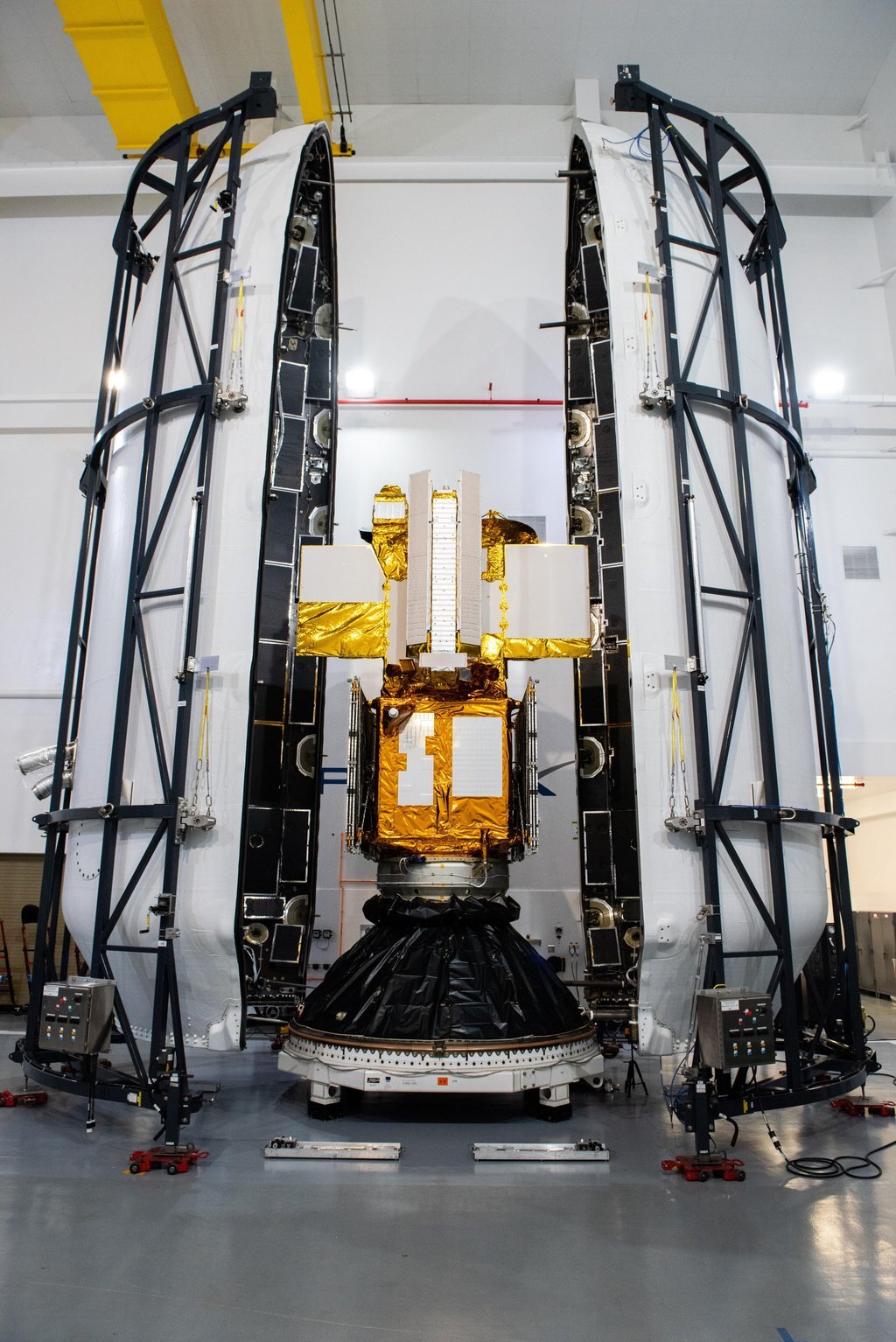
Credit: USSF 30th Space Wing/Joshua Duff
The international Surface Water and Ocean Topography mission is one step closer to launching so it can track water on more than 90% of Earth’s surface.
The SWOT satellite, or the Surface Water and Ocean Topography mission, is now encapsulated in its payload fairing in preparation for launch. Technicians at the SpaceX processing facility at Vandenberg Space Force Base in California completed the operation and will soon mate the fairing to the top of a Falcon 9 rocket. The fairing protects the satellite from aerodynamic pressure and heating during ascent. After the rocket escapes Earth’s atmosphere, the fairing separates into two halves, which are jettisoned back to Earth.
Once in orbit, SWOT will measure the height of water in freshwater bodies and the ocean on more than 90% of Earth’s surface. This information will provide insights into how the ocean influences climate change; how a warming world affects lakes, rivers, and reservoirs; and how communities can better prepare for disasters, such as floods.
SWOT is a collaborative effort by NASA and France’s Centre National d’Études Spatiales (CNES) with contributions from the Canadian Space Agency (CSA) and UK Space Agency.
Launch is targeted for Dec. 15, 2022, at 3:46 a.m. PST from Space Launch Complex 4E at Vandenberg Space Force Base.
Quelle: NASA
----
Update: 14.12.2022
.
Latest International Water Satellite Packs an Engineering Punch
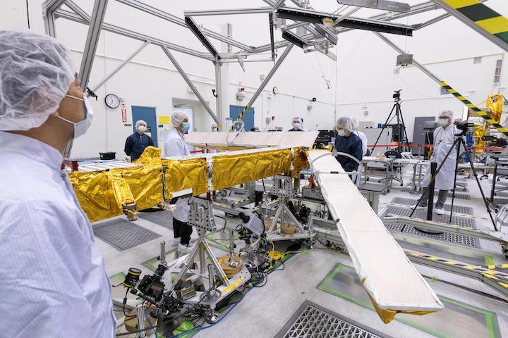
Meet the scientific heart of the Surface Water and Ocean Topography mission, which will see Earth’s water in higher definition than ever before.
Set for a Thursday, Dec. 15 launch, the Surface Water and Ocean Topography (SWOT) satellite promises to provide an extraordinary accounting of water over much of Earth’s surface. Its measurements of fresh water and the ocean will help researchers address some of the most pressing climate questions of our time and help communities prepare for a warming world. Making this possible is a scientific instrument called the Ka-band Radar Interferometer (KaRIn).
This animation shows the two antennas for SWOT’s Ka-band Radar Interferometer (KaRIn) instrument unfolding in orbit.
Years in development, the instrument has been designed to capture very precise measurements of the height of water in Earth’s freshwater bodies and the ocean. KaRIn will measure the height of water in the ocean, “seeing” features like currents and eddies that are less than 13 miles (20 kilometers) across – up to 10 times smaller than those detectable with other sea level satellites. It will also collect data on lakes and reservoirs larger than 15 acres (62,500 square meters) and rivers wider than 330 feet (100 meters) across.
“For freshwater, this will be a quantum leap in terms of our knowledge,” said Daniel Esteban-Fernandez, KaRIn instrument manager at NASA’s Jet Propulsion Laboratory in Southern California. For example, researchers currently have good data on only a few thousand lakes around the world; SWOT will increase that number to at least a million.
The cutting-edge KaRIn instrument lies at the heart of this international mission, the latest in a longstanding collaboration between NASA and the French space agency Centre National d’Études Spatiales (CNES), with contributions from the Canadian Space Agency (CSA) and the UK Space Agency.
A Bigger Picture
Until now, researchers looking to study a body of water relied on instruments that measure at specific locations – like gauges in rivers or the ocean – or that are space-based, gathering data along narrow “tracks” of Earth they can see from orbit. Researchers then have to extrapolate if they want a broader idea of what’s happening in a water body.
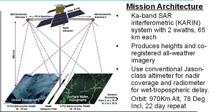
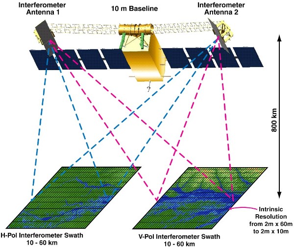
KaRIn is different. The radar instrument uses the Ka-band frequency at the microwave end of the electromagnetic spectrum to penetrate cloud cover and the dark of night. As a result, it can take measurements regardless of weather or time of day. The instrument configuration consists of one antenna at each end of a boom that’s 33 feet (10 meters) long. By bouncing radar pulses off the water’s surface and receiving the return signal with both antennas, KaRIn will collect data along a swath 30 miles (50 kilometers) wide on either side of the satellite. “With KaRIn data, we’ll be able to actually see what’s happening, rather than relying on these extrapolations,” said Tamlin Pavelsky, the NASA freshwater science lead for SWOT, based at the University of North Carolina, Chapel Hill.
The two KaRIn antennas will see the same spot on Earth from 553 miles (890 kilometers) above. Since the antennas look at a given point on Earth from two directions, the return signals reflected back to the satellite arrive at each antenna slightly out of step, or phase, with one another. Using this phase difference, the distance between the two antennas, and the radar wavelength, researchers can calculate the height of the water that KaRIn is looking at.
Breakthrough Technology
Such a remarkable instrument demanded a lot from the team that developed it. For starters, there was the need for stability. “You have two antennas looking at the same spot on the ground, but if their footprints don’t overlap, you won’t see anything,” said Esteban-Fernandez. That was one of the many technical challenges the mission faced in creating KaRIn.
Engineers also need to know exactly how SWOT is positioned in space to ensure the accuracy of KaRIn’s data. If researchers don’t know the spacecraft is tilted, for instance, they can’t account for that in their calculations. “Imagine that the boom rolls because the spacecraft moves, so one antenna is slightly higher than the other,” Esteban-Fernandez said. “That will skew the results – it’ll look like all your water is on a slope.” So engineers included a high-performance gyroscope on the satellite to account for shifts in SWOT’s position.
Engineers designing KaRIn also had to contend with the amount of radar power transmitted. “To measure things down to centimeter accuracy, you need to transmit radar pulses of 1.5 kilowatts, which is a huge amount of power for a satellite like this,” said Esteban-Fernandez. “In order to generate that, you have to have tens of thousands of volts operating on the satellite.” The engineers needed to use designs and materials specific to high-voltage systems when manufacturing the electronics to help the satellite accommodate such high-power and high-voltage needs.
The team spent years overcoming those and a multitude of other challenges to deliver the KaRIn instrument. Very soon the interferometer will fly for the first time on the SWOT satellite and start sending back terabytes of data. “KaRIn will be putting something on the table that just didn’t exist before,” said Esteban-Fernandez.
More About the Mission
Scheduled to launch from Vandenberg Space Force Base in Central California on Dec. 15, SWOT is being jointly developed by NASA and CNES, with contributions from the CSA and the UK Space Agency. JPL, which is managed for NASA by Caltech in Pasadena, California, leads the U.S. component of the project. For the flight system payload, NASA is providing the Ka-band Radar Interferometer (KaRIn) instrument, a GPS science receiver, a laser retroreflector, a two-beam microwave radiometer, and NASA instrument operations. CNES is providing the Doppler Orbitography and Radioposition Integrated by Satellite (DORIS) system, the dual frequency Poseidon altimeter (developed by Thales Alenia Space), the KaRIn radio-frequency subsystem (together with Thales Alenia Space and with support from the UK Space Agency), the satellite platform, and ground control segment. CSA is providing the KaRIn high-power transmitter assembly. NASA is providing the launch vehicle and associated launch services.
Quelle: NASA
----
Update: 15.12.2022
.
SWOT mission coverage will be provided by NASA. Tune in to NASA.gov/live to watch the live broadcast, starting at 3:00 a.m. PT on Friday, December 16.
SpaceX is targeting Friday, December 16 for a Falcon 9 launch of NASA’s Surface Water and Ocean Topography (SWOT) mission to low-Earth orbit from Space Launch Complex 4E (SLC-4E) at Vandenberg Space Force Base. The 10-minute launch window opens at 3:46 a.m. (11:46 UTC).
The first stage booster supporting this mission previously launched NROL-87, NROL-85, SARah-1, and two Starlink missions. Following stage separation, the first stage will land on Landing Zone 4 (LZ-4) at Vandenberg Space Force Base.
SWOT is an internationally developed mission to conduct the first global survey of Earth’s surface water. It aims to provide a new understanding of the ocean’s role in climate change and improve the data humanity relies upon for fresh water management.
Quelle: SpaceX
----
Update: 16.12.2022
.
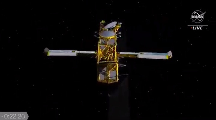
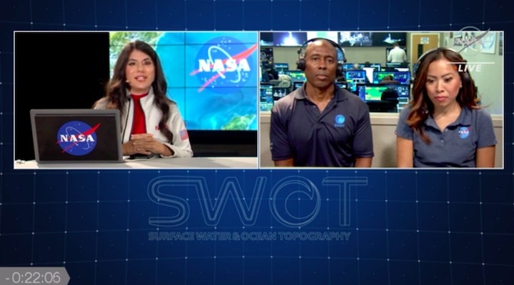
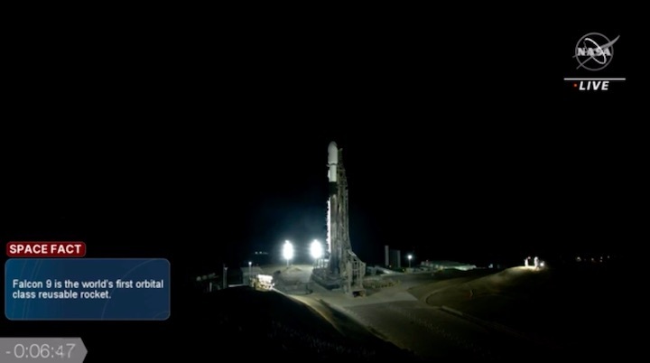
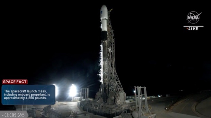
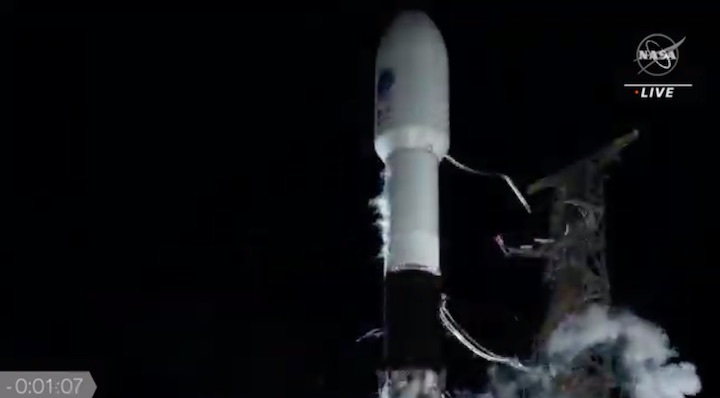
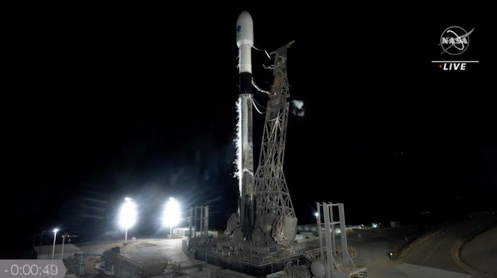
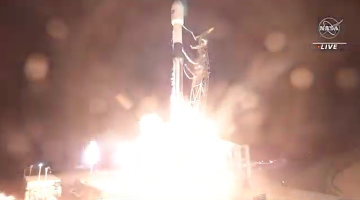
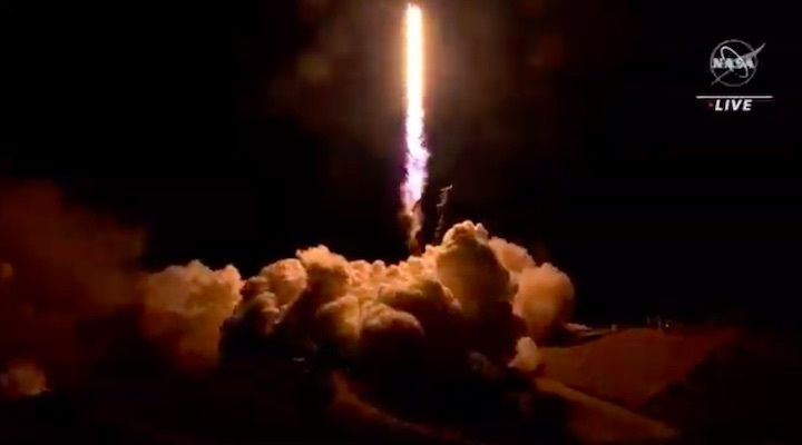
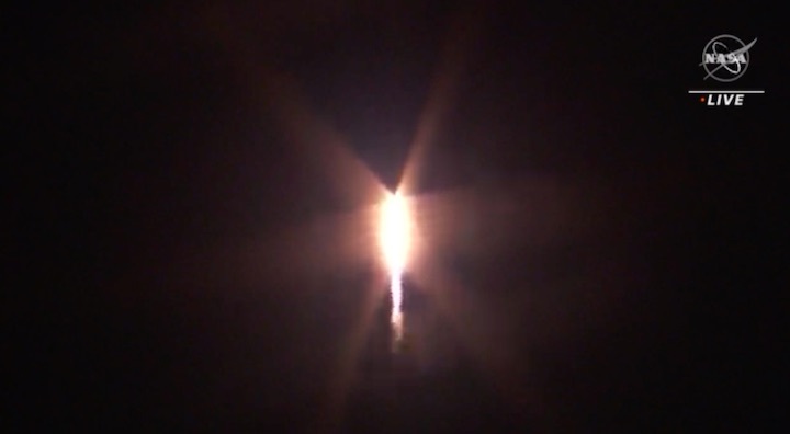
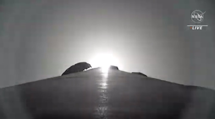
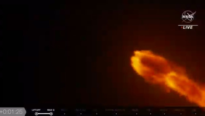
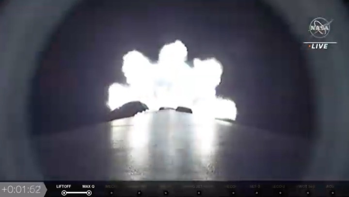
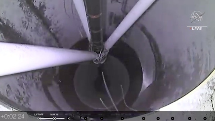
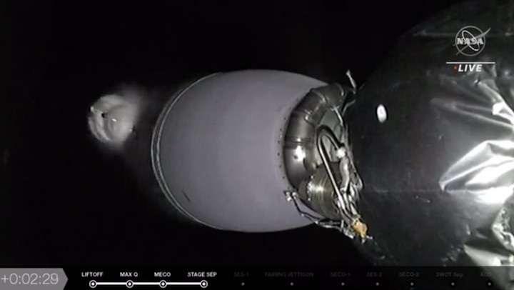
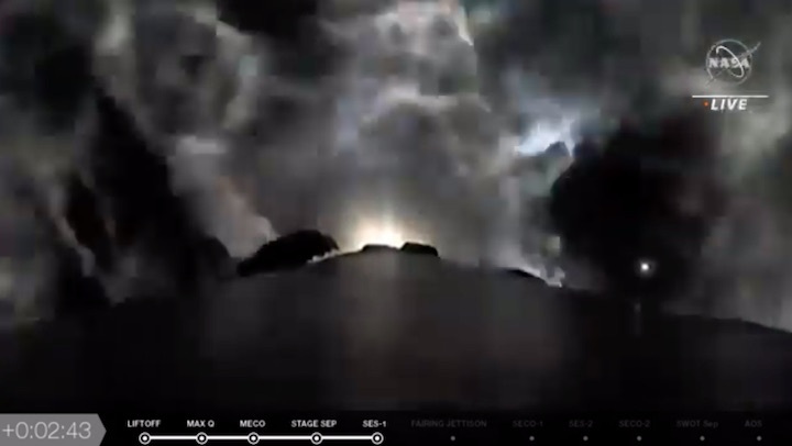
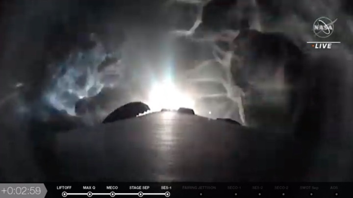
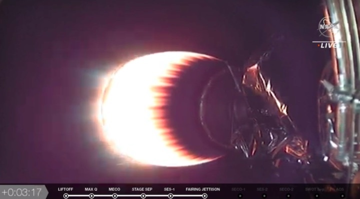
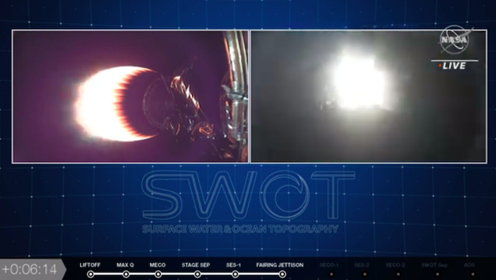
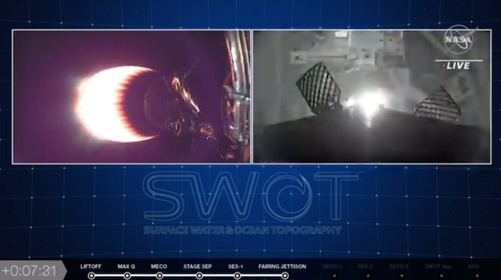
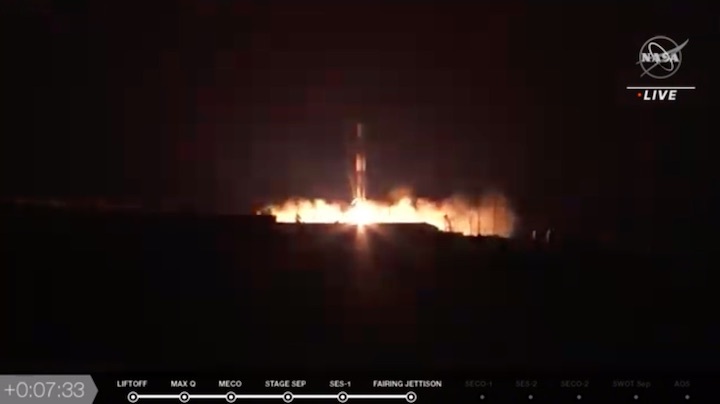
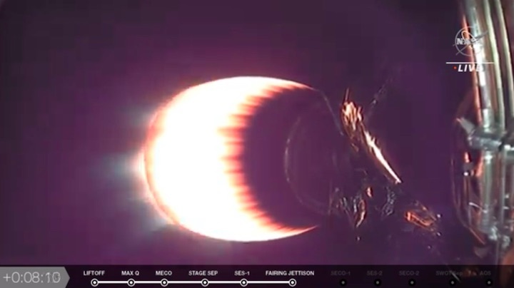
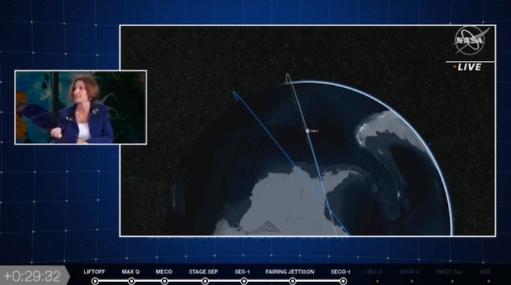
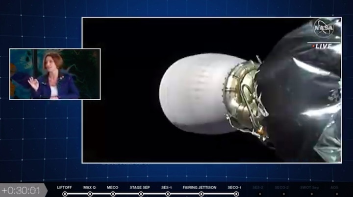
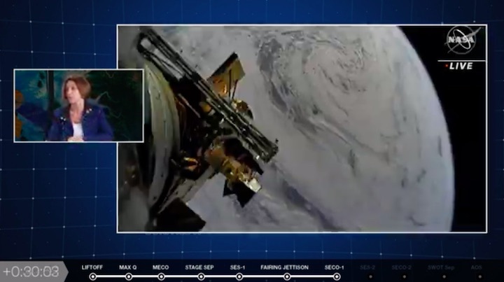
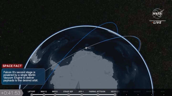
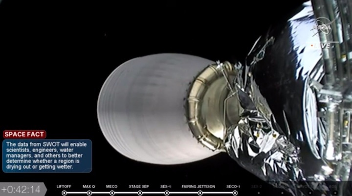
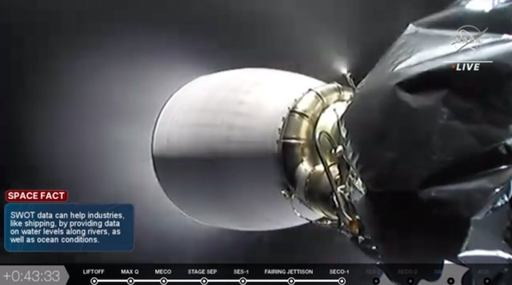
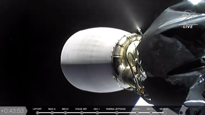
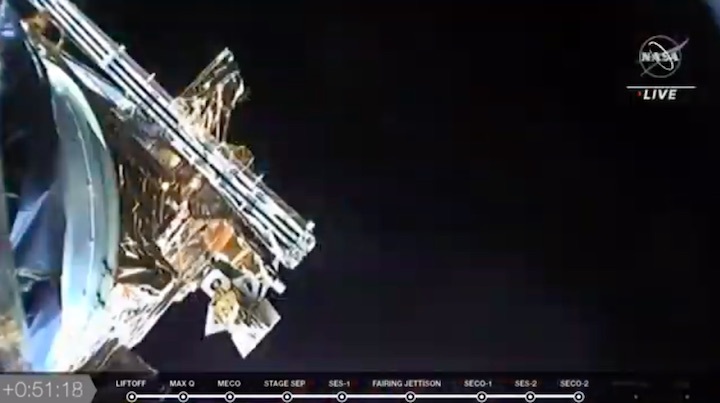
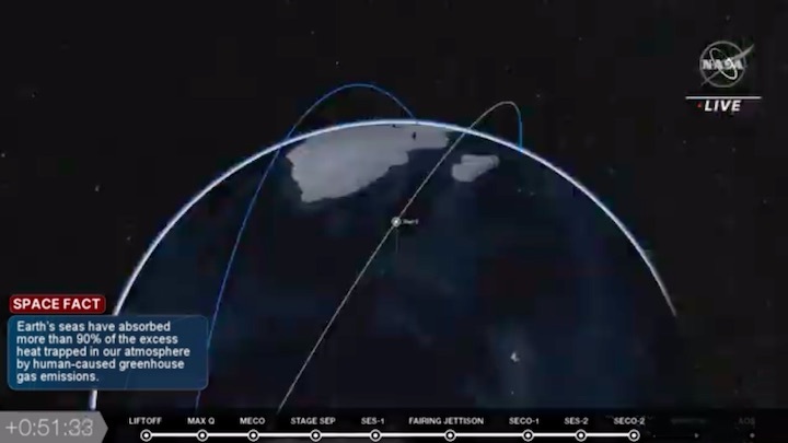
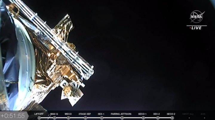
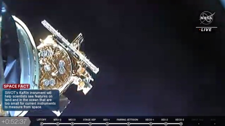
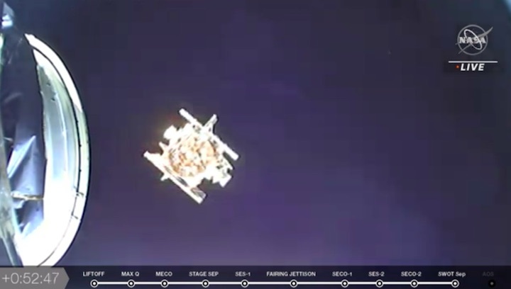
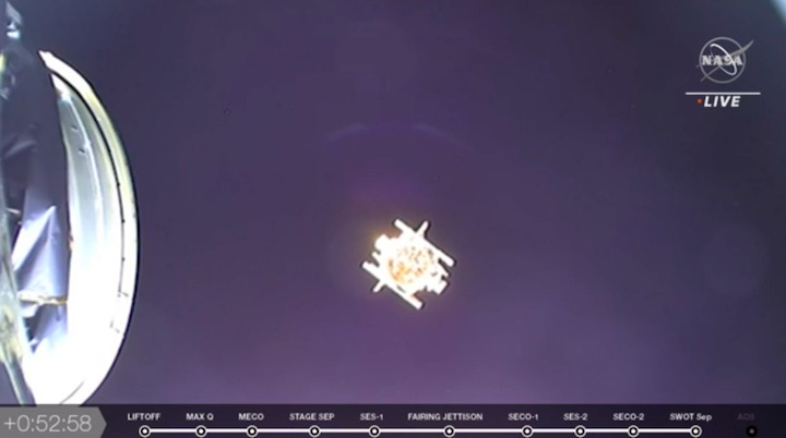
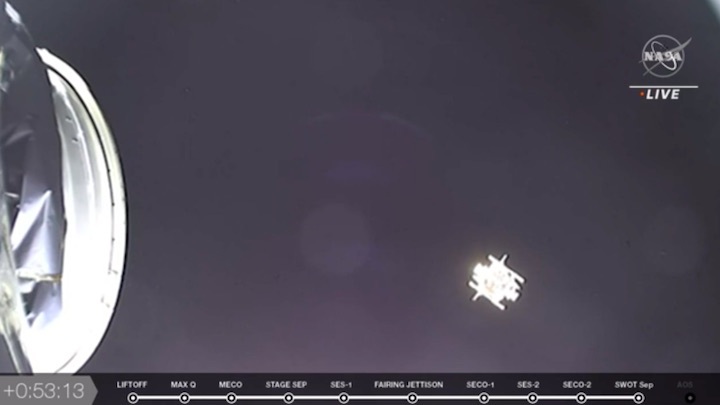
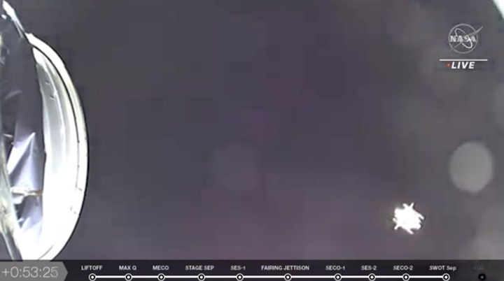
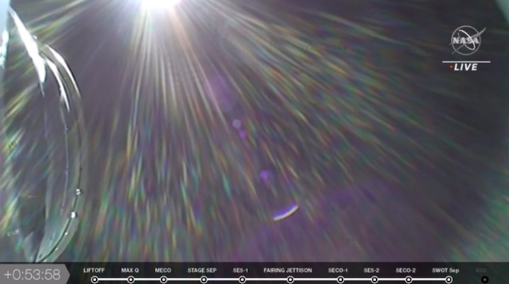
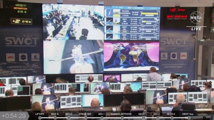
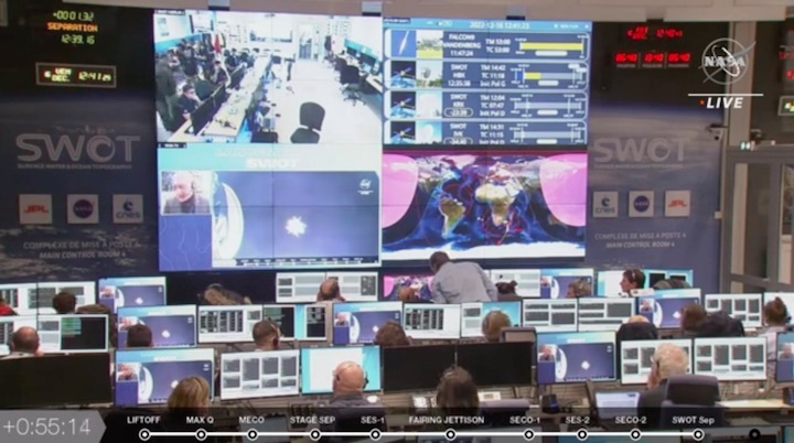
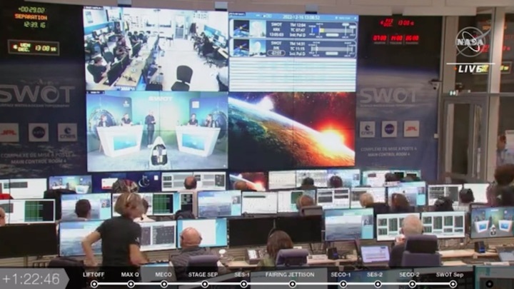
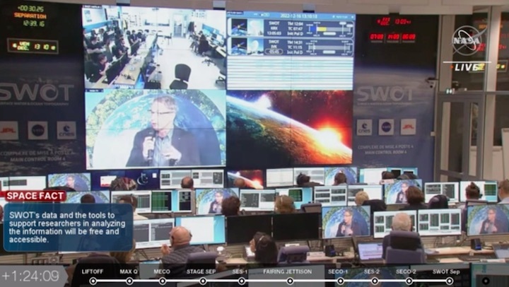
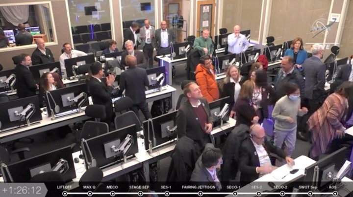
Start von NASA-CNES Surface Water and Ocean Topography (SWOT) Mission



Quelle: SpaceX, NASA-TV
