.

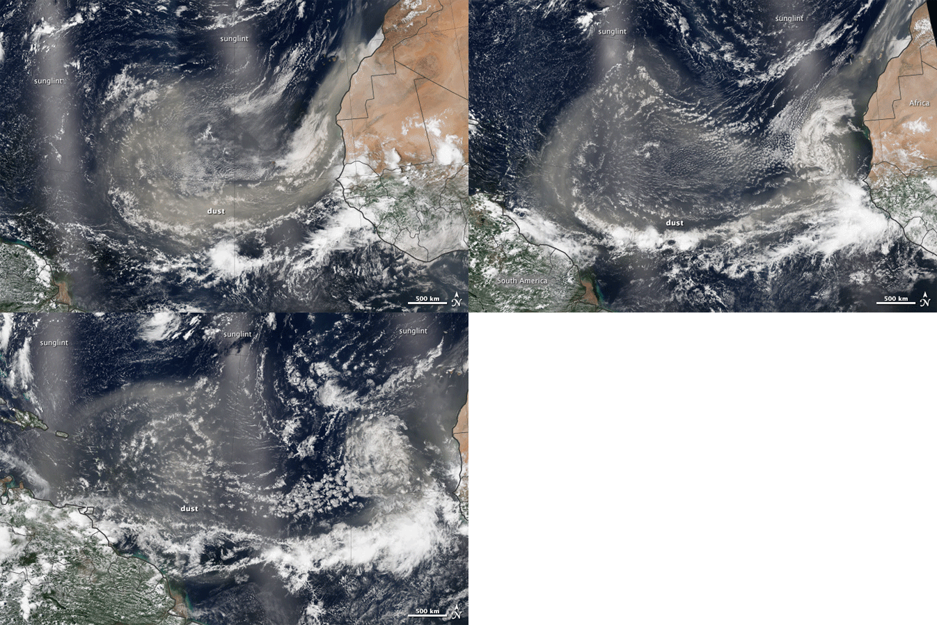
The Visible Infrared Imaging Radiometer Suite, or VIIRS, on the Suomi National Polar-orbiting Partnership satellite captured these images of a Saharan dust storm on July 31 and August 1–2, 2013. Each image is a composite of three adjacent satellite passes.
Dust from the Sahara and other points in interior Africa were lofted into the sky and blew west and northwest across the Atlantic Ocean. (The milky lines running vertically across each image are caused by sunglint, the reflection of sunlight off the ocean.) The images help reveal wind patterns such as trade winds that steer plumes and clouds. At several points, dust stretched continuously from North Africa to South America.
“These mosaics show where the dust goes, which tells us what governs the movement and where they end up,” said Ralph Kahn, a NASA atmospheric scientist who specializes in aerosols. “When satellites first began imaging Earth, it was shocking to see the degree to which airborne particles are carried across continents and oceans."
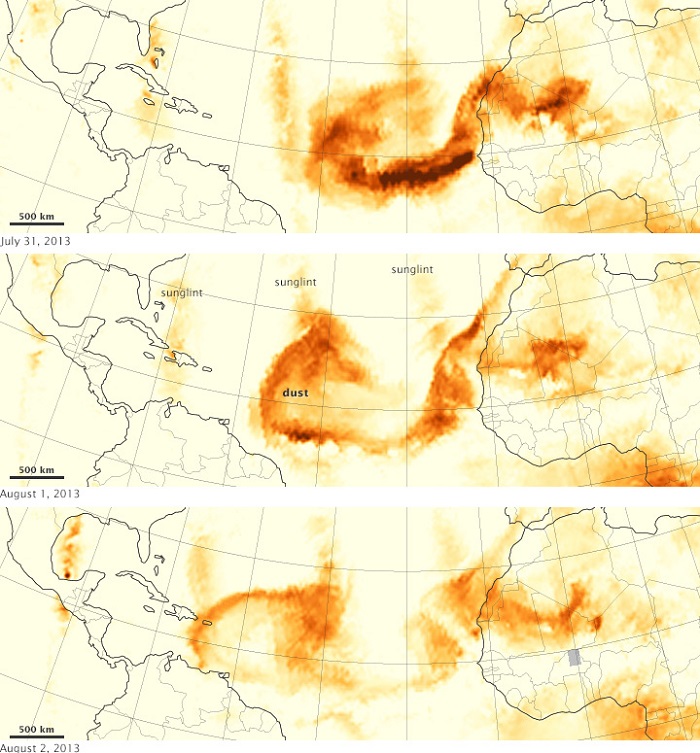
The dust also was detected by the Ozone Mapping Profiling Suite on Suomi NPP. Designed to measure ozone in the atmosphere, this instrument gathers ultraviolet spectral information that also reveals smoke and airborne dust. Lower concentrations appear in yellow, and greater concentrations appear in orange-brown. Each map includes roughly six satellite passes.Since late July, some meteorologists have speculated that a particularly dry and dusty Saharan Air Layer was suppressing hurricane formation in the North Atlantic. As of August 27, 2013, no tropical storms had reached hurricane strength yet in the Atlantic Ocean, an unusual but not-unprecedented season.
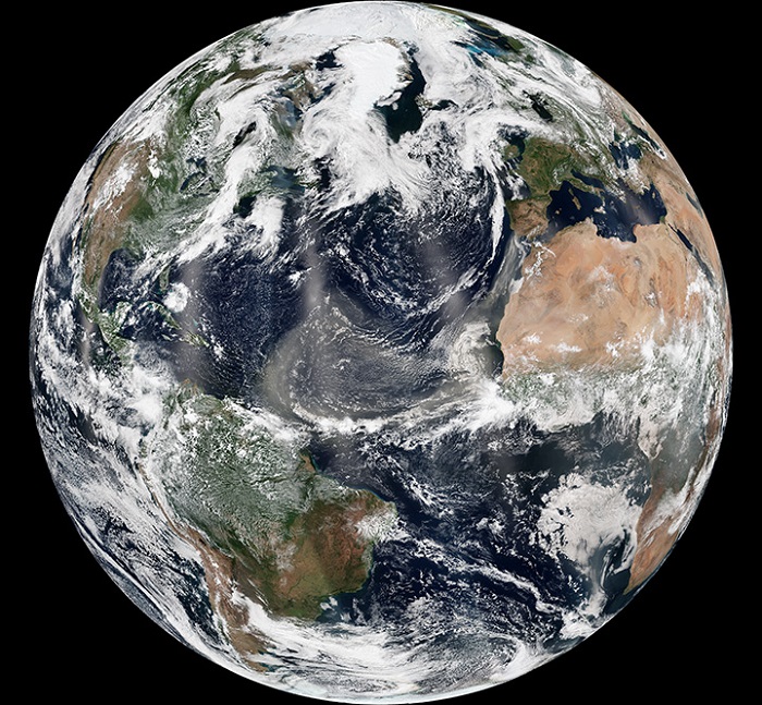
“Dust has long blown across the Atlantic from Africa, but only during the past several decades of satellite observations have we begun to appreciate the vast scale of these events,” wrote Norman Kuring, a member of the ocean color group at NASA's Goddard Space Flight Center. “Estimates of the dust transported run to hundreds of millions of tons per year, yet we still know relatively little about the effects on phytoplankton productivity, climate, and human health.”
.


